Medium airport · United States
Elmira Corning Regional AirportKELM
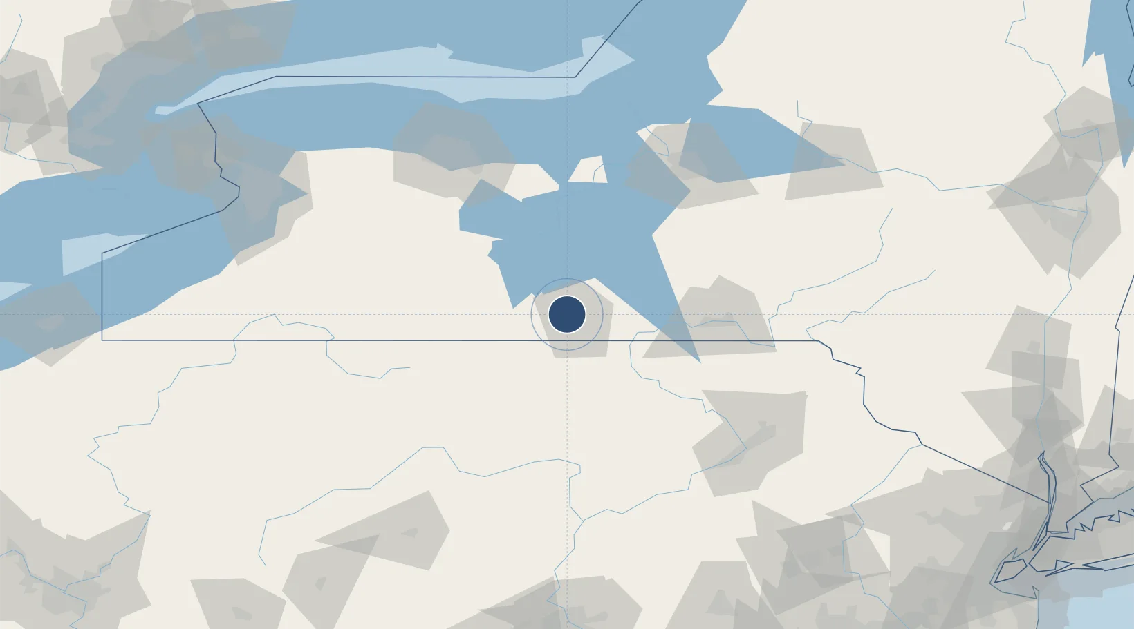
42.1599°, -76.8916°
8,001 ft
Longest runway
3
Runways
954 ft
Elevation
Runway & Layout

Radio Frequencies
ATIS
125.475 MHz
TWR
121.1 MHz
GND
121.9 MHz
GND/CLNC DEL
CLD
121.9 MHz
CLNC DEL
CTAF
122.4 MHz
A/D
119.45 MHz
APP/DEP
RDO
122.2 MHz
BUFFALO RDO
UNIC
122.95 MHz
UNICOM
Navaids
ALP NDB Alpine 245 kHz
ULW VOR-DME Elmira 109.65 MHz
Runways · 3
| Runway | Dimensions | Surface | True heading | Lit |
|---|---|---|---|---|
| 06/24 | 8,001 × 150ft | Asphalt | 050° | ✓ |
| 10/28 | 5,404 × 150ft | Asphalt | 089° | ✓ |
| 05/23 | 2,016 × 150ft | Grass | 050° | — |
Airport Specifications
IATA code
ELM
ICAO code
KELM
Airport class
Medium airport
Scheduled service
Yes
Runway surface
Asphalt
Served city
Elmira/Corning
Location
Nearby Logistics Neighbours
Airports
Cities
- 1Big Flats5 km
- 2Pine Valley8 km
- 3Corning13 km
- 4Erwins21 km
- 5Odessa21 km
Trade Zones
- 1FTZ No. 289 Ontario County91 km
- 2FTZ No. 024 Pittston129 km
- 3FTZ No. 172 Oneida County139 km
- 4FTZ No. 090 Onondaga146 km
- 5FTZ No. 141 Monroe County153 km
DatabookThe Record of Consolidated Knowledge
United States beyond logistics?