UN/LOCODE hub · United States
USZE9
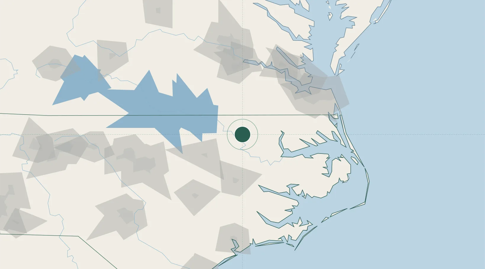
Rich Square
36.2667°, -77.2833°
901
Population
1
Transport functions
Transport Functions
Multimodal
Hub Profile
Place type
Populated place
Region
North Carolina
Population
901
Time zone
America/New_York
Elevation
22 m
Location
Nearby Logistics Neighbours
Cities
- 1Lewiston20 km
- 2Pendleton24 km
- 3Garysburg31 km
- 4Statesville35 km
- 5Boykins36 km
Ports
- 1Edenton65 km
- 2Plymouth65 km
- 3Hertford74 km
- 4Washington82 km
- 5Belhaven94 km
Airports
Trade Zones
- 1FTZ No. 020 Suffolk96 km
- 2FTZ No. 214 Lenoir County129 km
- 3FTZ No. 207 Richmond142 km
- 4FTZ No. 093 Raleigh Durham151 km
- 5FTZ No. 230 Piedmont Triad Area257 km
DatabookThe Record of Consolidated Knowledge
United States beyond logistics?