Foreign Trade Zone · United States

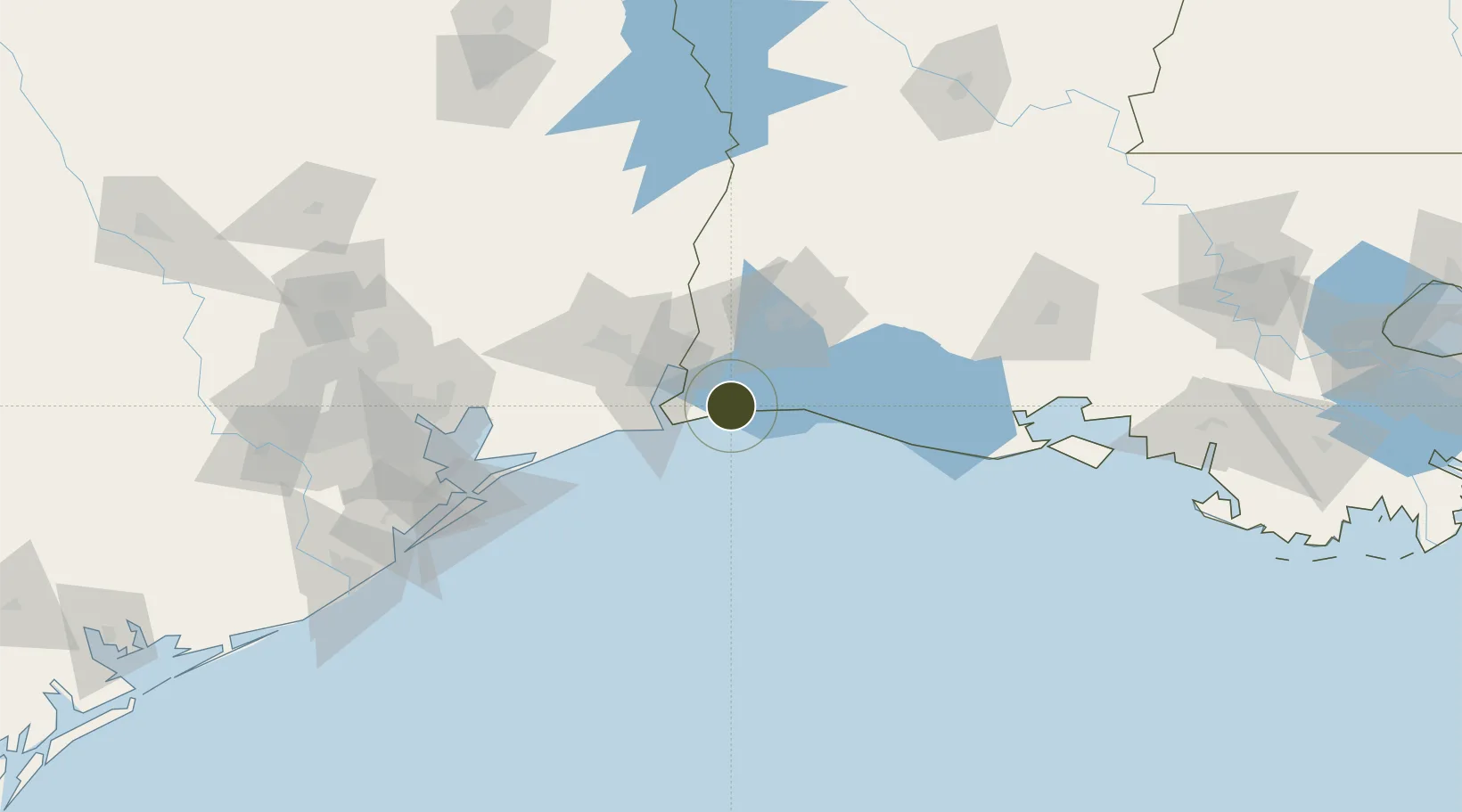
FTZ No. 291 Cameron Parish Active

29.7896°, -93.5516°
31.5 km
Nearest port
48.7 km
Nearest airport

Gateway access

Nearest neighbours — logibook spatial index (haversine) over the source coordinates

Zone profile

Zone type
Foreign Trade Zone
Open Zone Map
Region
Louisiana
Open Zone Map
Status
Active
Open Zone Map
Management
Public
Open Zone Map
Operator
Cameron Parish Port, Harbor and Terminal District
Open Zone Map
Legal framework
Foreign-Trade Zones Act
Open Zone Map

Location

Location of ozm-4788
Natural Earth 10m (public domain) · Louisiana · ozm-4788 · 29.79, -93.55GoogleOSMYandex

Nearby Logistics Neighbours

Ports
  1. 1Sabine32 km
  2. 2Sabine Pass34 km
  3. 3Orange37 km
  4. 4Port Arthur40 km
  5. 5Port Neches45 km
Nearest neighbours — logibook spatial index (haversine) over the source coordinates
Airports
  1. 1Jack Brooks Regional Airport49 km
  2. 2Lake Charles Regional Airport49 km
  3. 3Beauregard Regional Airport118 km
  4. 4Scholes International At Galveston Airport139 km
  5. 5Polk Army Air Field144 km
Nearest neighbours — logibook spatial index (haversine) over the source coordinates
Cities
  1. 1Atreco36 km
  2. 2Port Arthur37 km
  3. 3West Orange38 km
  4. 4Groves39 km
  5. 5Vinton44 km
Nearest neighbours — logibook spatial index (haversine) over the source coordinates
Trade Zones
  1. 1FTZ No. 117 Orange49 km
  2. 2FTZ No. 087 Lake Charles49 km
  3. 3FTZ No. 116 Port Arthur54 km
  4. 4FTZ No. 115 Beaumont70 km
  5. 5FTZ No. 036 Galveston132 km
Nearest neighbours — logibook spatial index (haversine) over the source coordinates
DatabookThe Record of Consolidated Knowledge
United States beyond logistics?
Browse databook

All Sources

Trade ZonesOpen Zone Map
CC BY
Portsthe NGA World Port Index
Public domain (US gov)
AirportsOurAirports
Public domain
LocationsUN/LOCODE
UN/LOCODE — free
← United States trade zones