Transport Functions
Multimodal
Hub Profile
Place type
Populated place
Region
Oklahoma
Population
317
Time zone
America/Chicago
Elevation
129 m
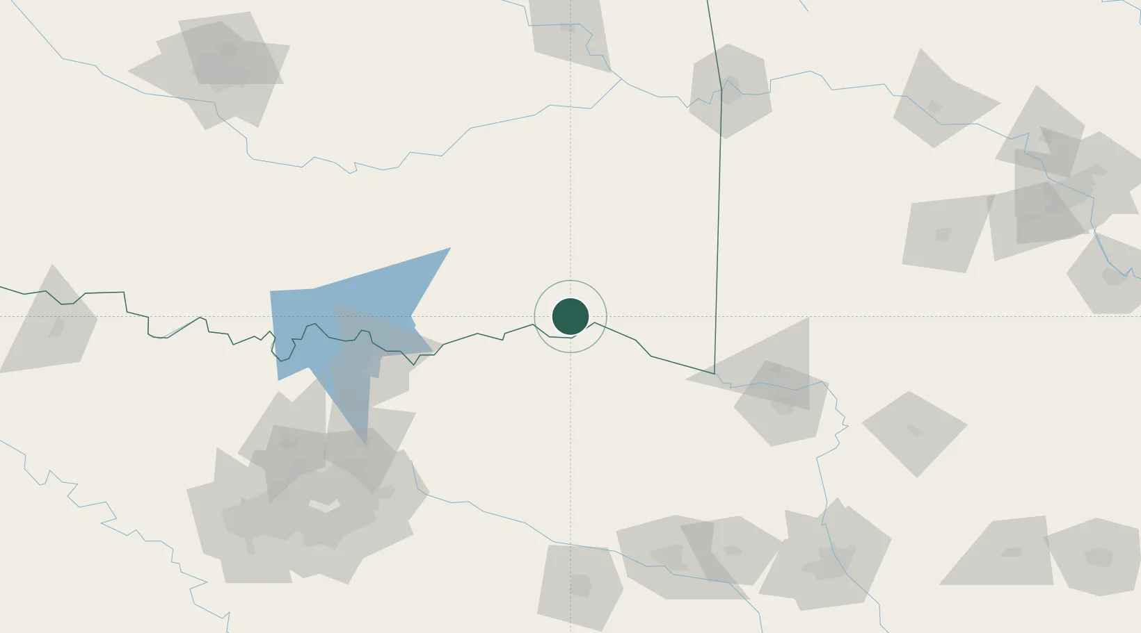
Location
Nearby Logistics Neighbours
Cities
- 1Arthur City19 km
- 2Powderly26 km
- 3Detroit40 km
- 4Sumner41 km
- 5Idabel52 km
Ports
- 1Beaumont452 km
- 2Orange462 km
- 3Port Neches464 km
- 4Lake Charles466 km
- 5Deer Park473 km
Airports
Trade Zones
- 1FTZ No. 258 Bowie County87 km
- 2FTZ No. 227 Durant95 km
- 3FTZ No. 234 Gregg County170 km
- 4FTZ No. 164 Muskogee193 km
- 5FTZ No. 269 Athens206 km
DatabookThe Record of Consolidated Knowledge
United States beyond logistics?