Transport Functions
Port
Rail
Road
Multimodal
Hub Profile
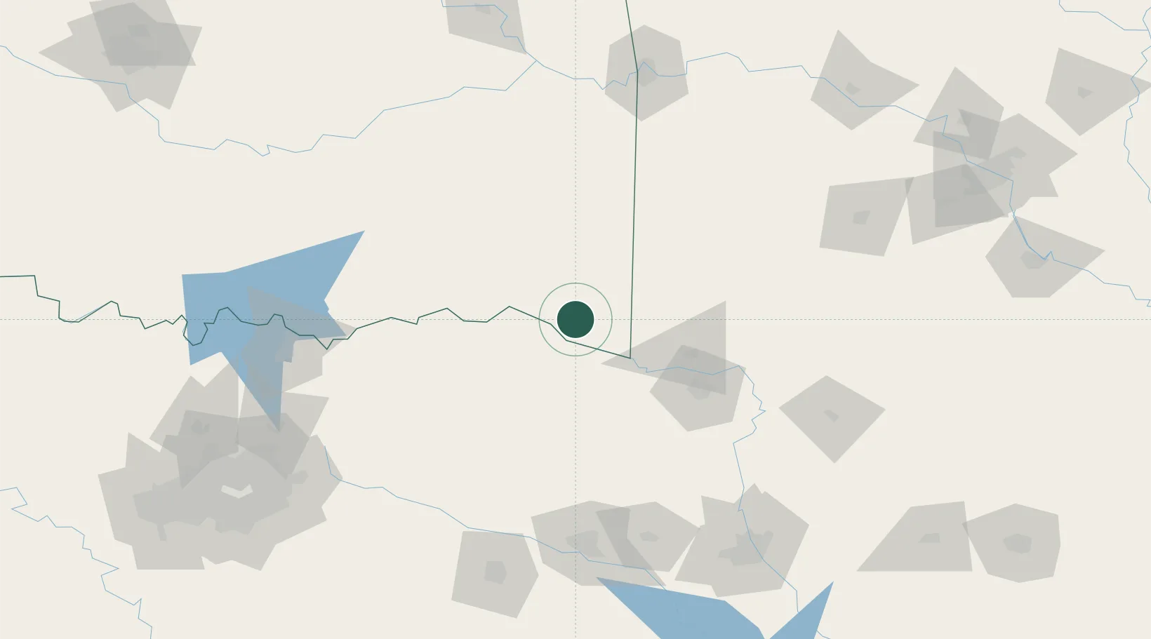
Place type
Provincial seat
Region
Oklahoma
Population
7,007
Time zone
America/Chicago
Elevation
144 m
Location
Nearby Logistics Neighbours
Cities
- 1Broken Bow18 km
- 2De Kalb47 km
- 3Detroit48 km
- 4Sawyer52 km
- 5Gillham56 km
Ports
- 1Beaumont428 km
- 2Lake Charles434 km
- 3Orange435 km
- 4Port Neches440 km
- 5Port Of Memphis446 km
Airports
Trade Zones
- 1FTZ No. 258 Bowie County47 km
- 2FTZ No. 227 Durant146 km
- 3FTZ No. 234 Gregg County153 km
- 4FTZ No. 145 Shreveport177 km
- 5FTZ No. 146 Lawrence County177 km
DatabookThe Record of Consolidated Knowledge
United States beyond logistics?