UN/LOCODE hub · United States
USZF8
Louisville
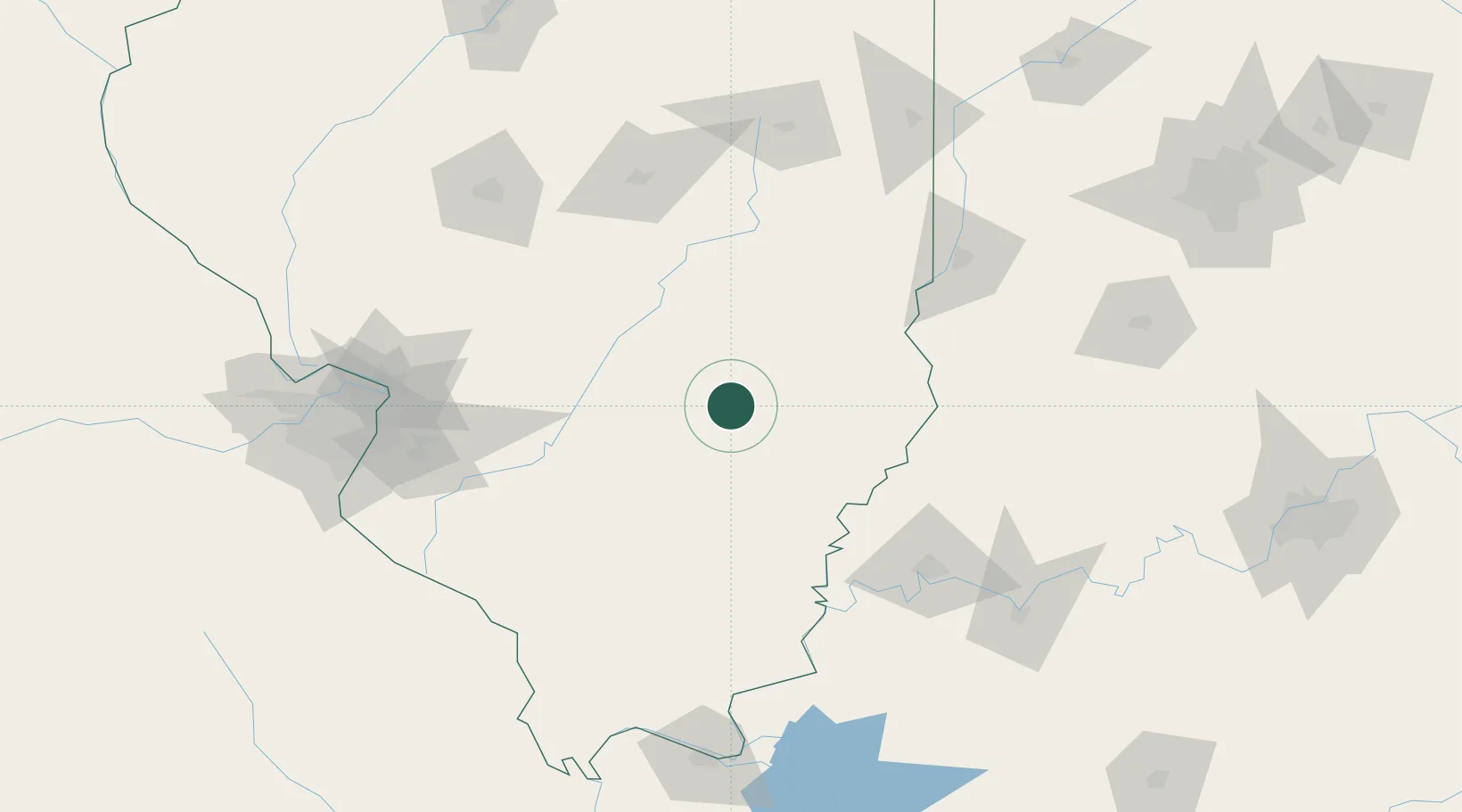
38.7667°, -88.5000°
1,116
Population
1
Transport functions
Transport Functions
Multimodal
Hub Profile
Place type
Provincial seat
Region
Illinois
Population
1,116
Time zone
America/Chicago
Elevation
146 m
Location
Nearby Logistics Neighbours
Cities
- 1Fairfield46 km
- 2Vernon51 km
- 3West Salem52 km
- 4Holland, Effingham55 km
- 5Sandoval56 km
Ports
- 1Gary332 km
- 2Indiana Harbor335 km
- 3Calumet Harbor340 km
- 4Chicago355 km
- 5Michigan City357 km
Airports
Trade Zones
- 1FTZ No. 177 Evansville115 km
- 2FTZ No. 245 Decatur130 km
- 3FTZ No. 031 Granite City148 km
- 4FTZ No. 294 Western Kentucky189 km
- 5FTZ No. 102 St. Louis County192 km
DatabookThe Record of Consolidated Knowledge
United States beyond logistics?