UN/LOCODE hub · United States
USFAD
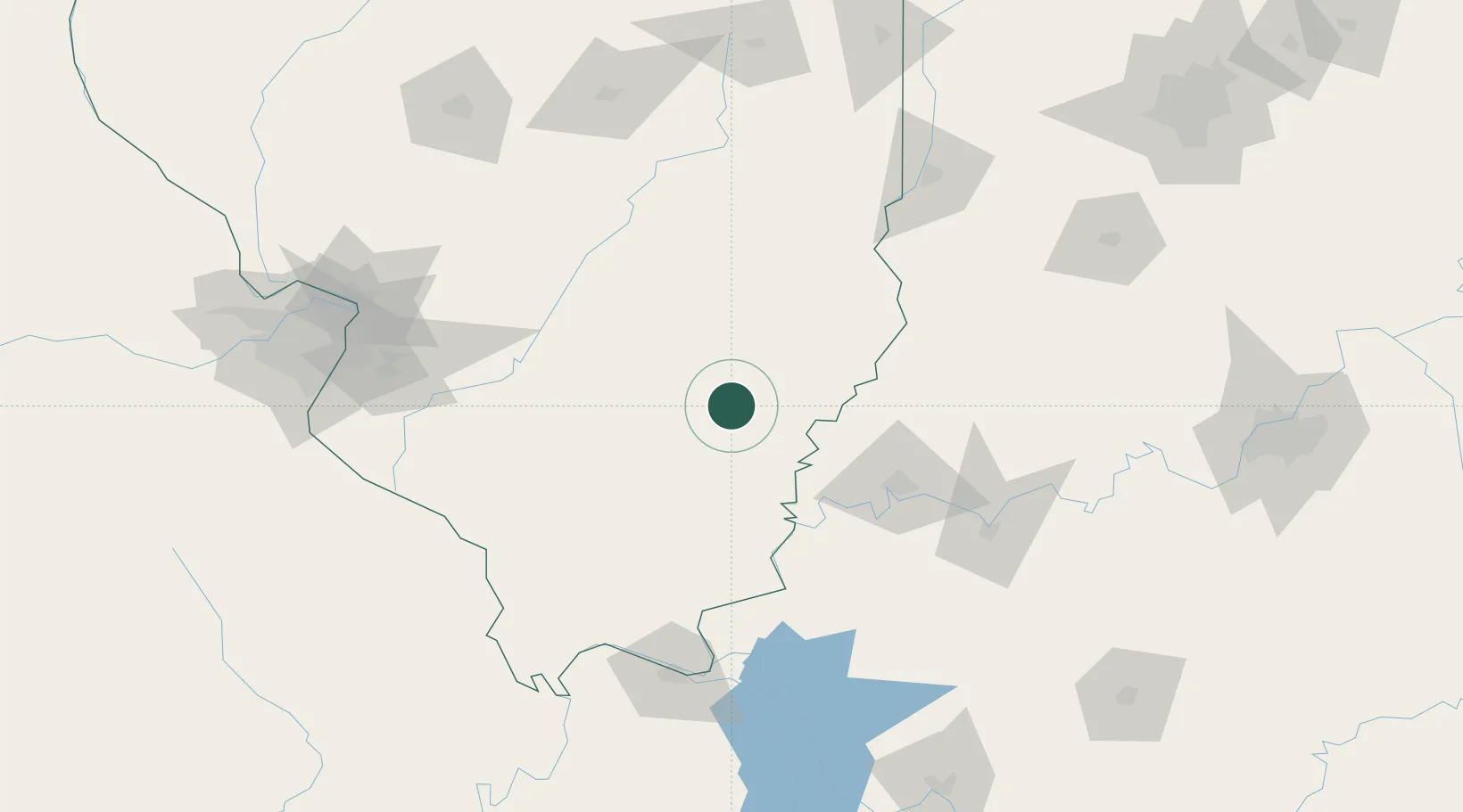
Fairfield
38.3667°, -88.3500°
5,040
Population
3
Transport functions
Transport Functions
Rail
Road
Multimodal
Hub Profile
Place type
Provincial seat
Region
Illinois
Population
5,040
Time zone
America/Chicago
Elevation
134 m
Location
Nearby Logistics Neighbours
Cities
- 1Grayville33 km
- 2West Salem35 km
- 3Griffin42 km
- 4Louisville46 km
- 5Mount Vernon48 km
Ports
- 1Gary372 km
- 2Indiana Harbor375 km
- 3Calumet Harbor381 km
- 4Michigan City394 km
- 5Chicago396 km
Airports
Trade Zones
- 1FTZ No. 177 Evansville76 km
- 2FTZ No. 294 Western Kentucky146 km
- 3FTZ No. 031 Granite City166 km
- 4FTZ No. 245 Decatur177 km
- 5FTZ No. 102 St. Louis County207 km
DatabookThe Record of Consolidated Knowledge
United States beyond logistics?