Medium airport · United States
Scott AFB/Midamerica AirportKBLV
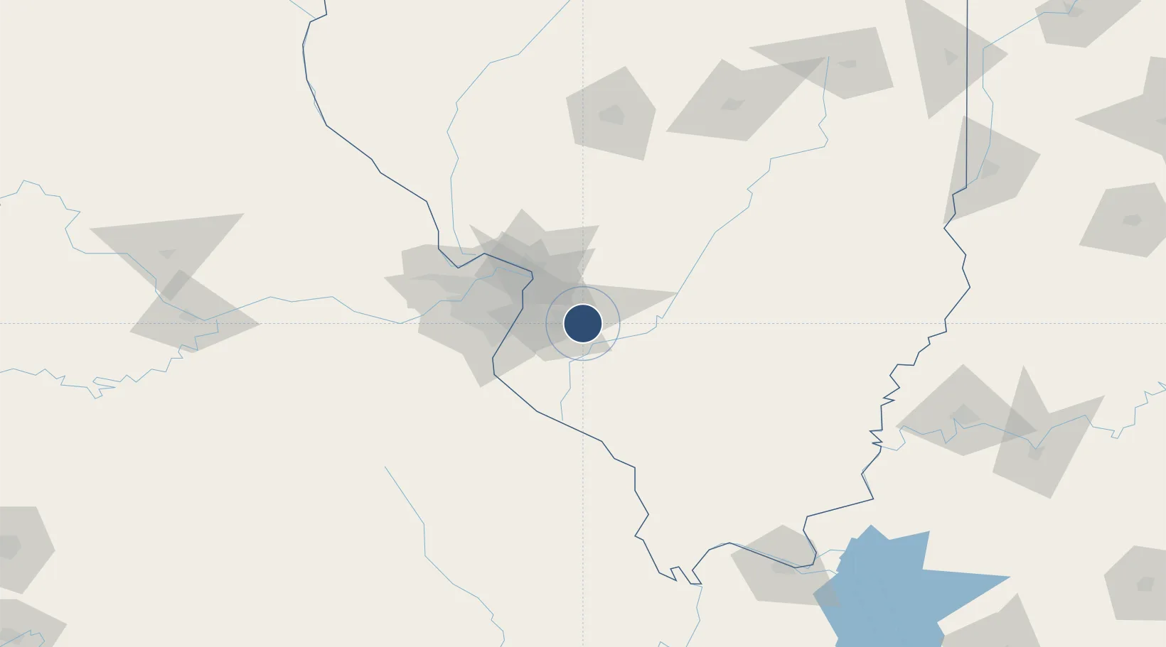
38.5452°, -89.8352°
10,000 ft
Longest runway
2
Runways
459 ft
Elevation
Runway & Layout

Radio Frequencies
ATIS
128.7 MHz
TWR
118.65 MHz
GND
119.2 MHz
CLD
121.75 MHz
CLNC DEL
A/D
125.2 MHz
ST LOUIS APP/DEP
ACP
138.55 MHz
126 ARW COMD POST
PMSV
23.98 MHz
PMSV METRO
POST
130.65 MHz
375 AW COMD POST
PTD
139.85 MHz
UNIC
122.95 MHz
UNICOM
Navaids
BL NDB Belleville 362 kHz
JD NDB Gooey 385 kHz
SKE TACAN Scott 112.20 MHz
Runways · 2
| Runway | Dimensions | Surface | True heading | Lit |
|---|---|---|---|---|
| 14L/32R | 10,000 × 150ft | Concrete | 137° | ✓ |
| 14R/32L | 8,006 × 150ft | Asphalt / concrete | 136° | ✓ |
Airport Specifications
IATA code
BLV
ICAO code
KBLV
Airport class
Medium airport
Scheduled service
Yes
Runway surface
Concrete
Served city
Belleville
Location
Nearby Logistics Neighbours
Airports
Cities
- 1Scott Air Force Base3 km
- 2Mascoutah5 km
- 3Lebanon7 km
- 4O'Fallon9 km
- 5Swansea13 km
Ports
- 1Port Of Memphis388 km
- 2Gary402 km
- 3Indiana Harbor403 km
- 4Calumet Harbor406 km
- 5Chicago417 km
Trade Zones
- 1FTZ No. 031 Granite City39 km
- 2FTZ No. 102 St. Louis County77 km
- 3FTZ No. 245 Decatur160 km
- 4FTZ No. 294 Western Kentucky198 km
- 5FTZ No. 177 Evansville203 km
DatabookThe Record of Consolidated Knowledge
United States beyond logistics?