UN/LOCODE hub · United States
USBMH
Sandoval
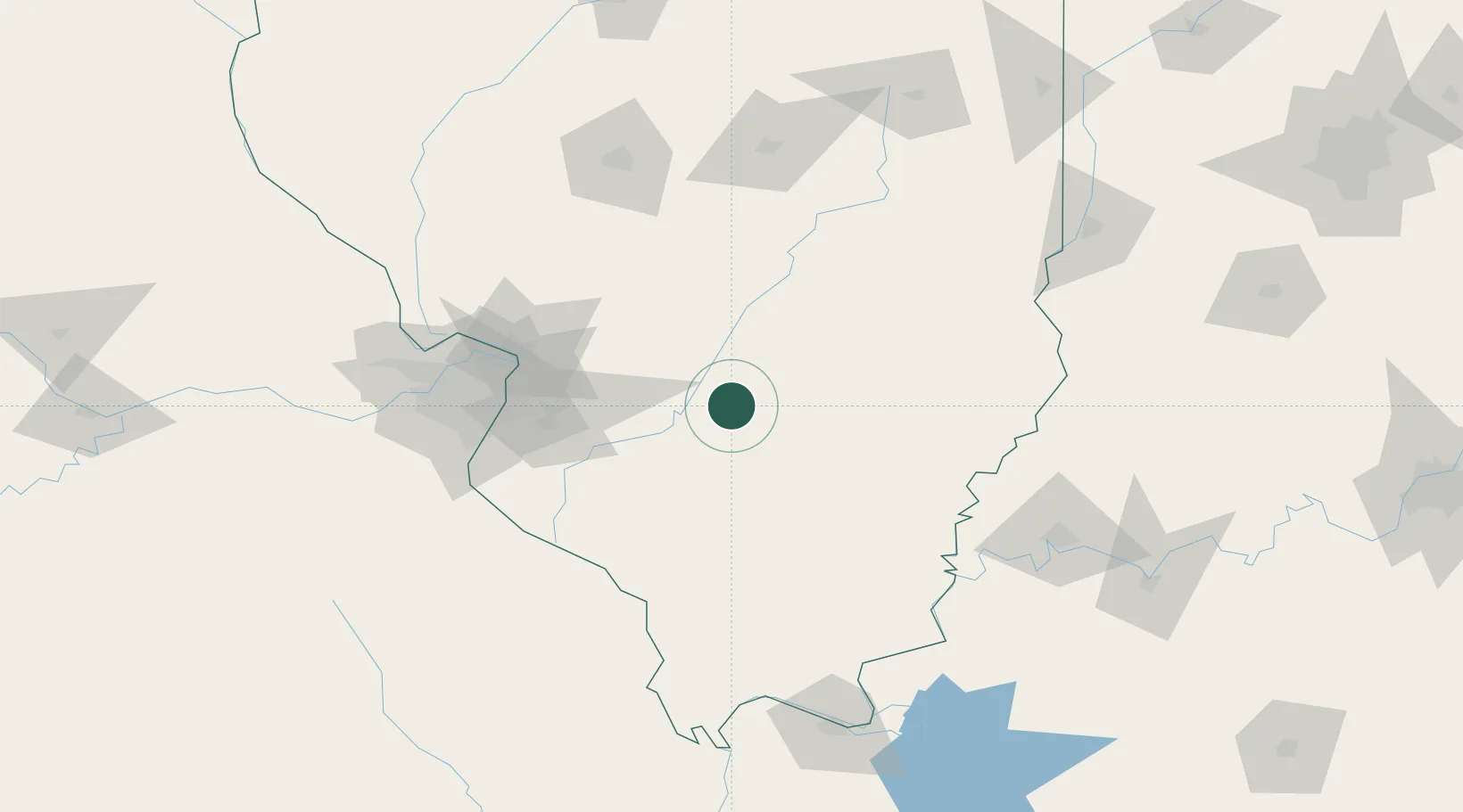
38.6167°, -89.1167°
1,230
Population
3
Transport functions
Transport Functions
Port
Rail
Road
Hub Profile
Place type
Populated place
Region
Illinois
Population
1,230
Time zone
America/Chicago
Elevation
155 m
Location
Nearby Logistics Neighbours
Cities
- 1Union, Neshaboa6 km
- 2Keyesport18 km
- 3Vernon21 km
- 4Ashley34 km
- 5Germantown37 km
Ports
- 1Gary366 km
- 2Indiana Harbor368 km
- 3Calumet Harbor372 km
- 4Chicago385 km
- 5Michigan City394 km
Airports
Trade Zones
- 1FTZ No. 031 Granite City95 km
- 2FTZ No. 245 Decatur138 km
- 3FTZ No. 102 St. Louis County138 km
- 4FTZ No. 177 Evansville148 km
- 5FTZ No. 294 Western Kentucky179 km
DatabookThe Record of Consolidated Knowledge
United States beyond logistics?