Medium airport · United States
Decatur AirportKDEC
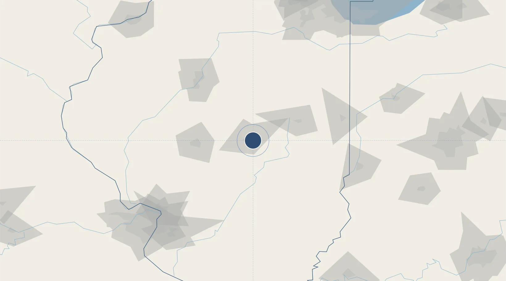
39.8346°, -88.8657°
8,496 ft
Longest runway
3
Runways
682 ft
Elevation
Runway & Layout

Radio Frequencies
ATIS
126.35 MHz
TWR
118.9 MHz
GND
121.75 MHz
CTAF
118.9 MHz
A/D
132.85 MHz
CHAMPAIGN APP/DEP
RDO
122.3 MHz
ST LOUIS RDO
UNIC
122.95 MHz
UNICOM
Navaids
AXC VORTAC Decatur 117.20 MHz
DE NDB Elwin 275 kHz
Runways · 3
| Runway | Dimensions | Surface | True heading | Lit |
|---|---|---|---|---|
| 06/24 | 8,496 × 150ft | Asphalt / concrete | 059° | ✓ |
| 12/30 | 6,799 × 150ft | Asphalt / concrete | 119° | ✓ |
| 18/36 | 5,298 × 150ft | Asphalt | 179° | ✓ |
Airport Specifications
IATA code
DEC
ICAO code
KDEC
Airport class
Medium airport
Scheduled service
Yes
Runway surface
Asphalt / concrete
Served city
Decatur
Location
Nearby Logistics Neighbours
Airports
Cities
- 1Decatur6 km
- 2Cerro Gordo13 km
- 3Forsyth13 km
- 4Warrensburg18 km
- 5Maroa23 km
Ports
- 1Gary237 km
- 2Indiana Harbor237 km
- 3Calumet Harbor240 km
- 4Chicago251 km
- 5Michigan City268 km
Trade Zones
- 1FTZ No. 245 Decatur17 km
- 2FTZ No. 114 Peoria114 km
- 3FTZ No. 031 Granite City168 km
- 4FTZ No. 102 St. Louis County207 km
- 5FTZ No. 055 Burlington218 km
DatabookThe Record of Consolidated Knowledge
United States beyond logistics?