Transport Functions
Rail
Road
Hub Profile
Place type
Populated place
Region
Illinois
Population
127
Time zone
America/Chicago
Elevation
157 m
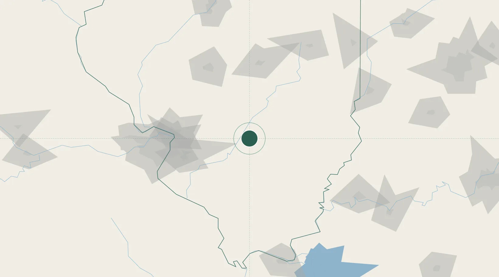
Location
Nearby Logistics Neighbours
Cities
- 1Keyesport18 km
- 2Sandoval21 km
- 3Union, Neshaboa26 km
- 4Germantown48 km
- 5Louisville51 km
Ports
- 1Gary347 km
- 2Indiana Harbor348 km
- 3Calumet Harbor352 km
- 4Chicago365 km
- 5Michigan City375 km
Airports
- 1Scott AFB/Midamerica Airport71 km
- 2St Louis Regional Airport84 km
- 3St. Louis Lambert International Airport112 km
- 4Southern Illinois Airport115 km
- 5Decatur Airport117 km
Trade Zones
- 1FTZ No. 031 Granite City97 km
- 2FTZ No. 245 Decatur117 km
- 3FTZ No. 102 St. Louis County142 km
- 4FTZ No. 177 Evansville156 km
- 5FTZ No. 294 Western Kentucky198 km
DatabookThe Record of Consolidated Knowledge
United States beyond logistics?