UN/LOCODE hub · United States
USZF4
Wellborn
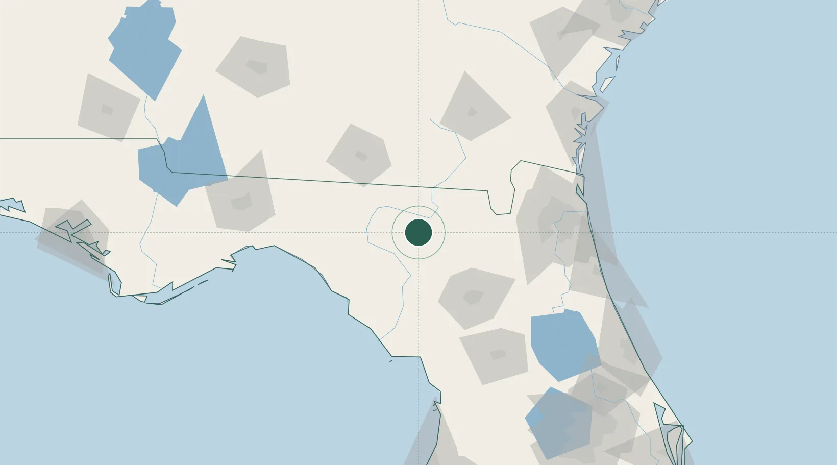
30.2167°, -82.8167°
2,724
Population
1
Transport functions
Transport Functions
Multimodal
Hub Profile
Place type
Populated place
Region
Florida
Population
2,724
Time zone
America/New_York
Elevation
58 m
Location
Nearby Logistics Neighbours
Cities
- 1Houston9 km
- 2McAlpin16 km
- 3Branford30 km
- 4Fort White35 km
- 5Lee51 km
Ports
- 1Jacksonville113 km
- 2Mayport134 km
- 3Fernandina Beach139 km
- 4St Augustine149 km
- 5Brunswick163 km
Airports
Trade Zones
- 1FTZ No. 064 Jacksonville83 km
- 2FTZ No. 144 Brunswick163 km
- 3FTZ No. 198 Volusia County187 km
- 4FTZ No. 250 Seminole County216 km
- 5FTZ No. 042 Orlando231 km
DatabookThe Record of Consolidated Knowledge
United States beyond logistics?