UN/LOCODE hub · United States
USZD5

Houston

30.2500°, -82.9000°
1
Transport functions

Transport Functions

Multimodal
UN/LOCODE

Hub Profile

Place type
Populated place
GeoNames
Region
Florida
GeoNames
Time zone
America/New_York
GeoNames
Elevation
52 m
GeoNames

Location

Location of USZD5
Natural Earth 10m (public domain) · Florida · USZD5 · 30.25, -82.90GoogleOSMYandex

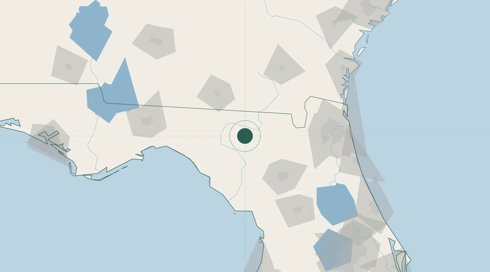
Nearby Logistics Neighbours

Cities
  1. 1Wellborn9 km
  2. 2McAlpin14 km
  3. 3Branford32 km
  4. 4Fort White41 km
  5. 5Lee43 km
Nearest neighbours — logibook spatial index (haversine) over the source coordinates
Ports
  1. 1Jacksonville120 km
  2. 2Mayport142 km
  3. 3Fernandina Beach146 km
  4. 4St Augustine157 km
  5. 5Brunswick167 km
Nearest neighbours — logibook spatial index (haversine) over the source coordinates
Airports
  1. 1Valdosta Regional Airport69 km
  2. 2Moody Air Force Base85 km
  3. 3Gainesville Regional Airport87 km
  4. 4Cecil Airport98 km
  5. 5Jacksonville Naval Air Station (Towers Field)117 km
Nearest neighbours — logibook spatial index (haversine) over the source coordinates
Trade Zones
  1. 1FTZ No. 064 Jacksonville91 km
  2. 2FTZ No. 144 Brunswick167 km
  3. 3FTZ No. 198 Volusia County196 km
  4. 4FTZ No. 250 Seminole County224 km
  5. 5FTZ No. 042 Orlando238 km
Nearest neighbours — logibook spatial index (haversine) over the source coordinates
DatabookThe Record of Consolidated Knowledge
United States beyond logistics?
Browse databook

All Sources

LocationsUN/LOCODE
UN/LOCODE — free
Portsthe NGA World Port Index
Public domain (US gov)
AirportsOurAirports
Public domain
Trade Zonesthe World Bank SEZ database
CC BY 4.0
Trade ZonesOpen Zone Map
CC BY
← United States locations