Transport Functions
Road
Multimodal
Hub Profile
Place type
Populated place
Region
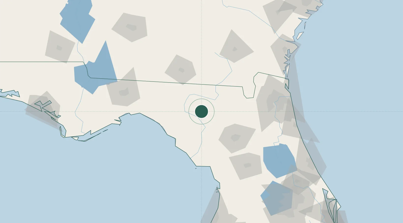
Florida
Time zone
America/New_York
Elevation
31 m
Location
Nearby Logistics Neighbours
Cities
- 1Houston14 km
- 2Wellborn16 km
- 3Branford19 km
- 4Fort White33 km
- 5Lee46 km
Ports
- 1Jacksonville127 km
- 2Mayport149 km
- 3Fernandina Beach155 km
- 4St Augustine159 km
- 5Carrabelle168 km
Airports
Trade Zones
- 1FTZ No. 064 Jacksonville98 km
- 2FTZ No. 144 Brunswick179 km
- 3FTZ No. 198 Volusia County190 km
- 4FTZ No. 250 Seminole County218 km
- 5FTZ No. 193 Pinellas County228 km
DatabookThe Record of Consolidated Knowledge
United States beyond logistics?