Transport Functions
Road
Multimodal
Hub Profile
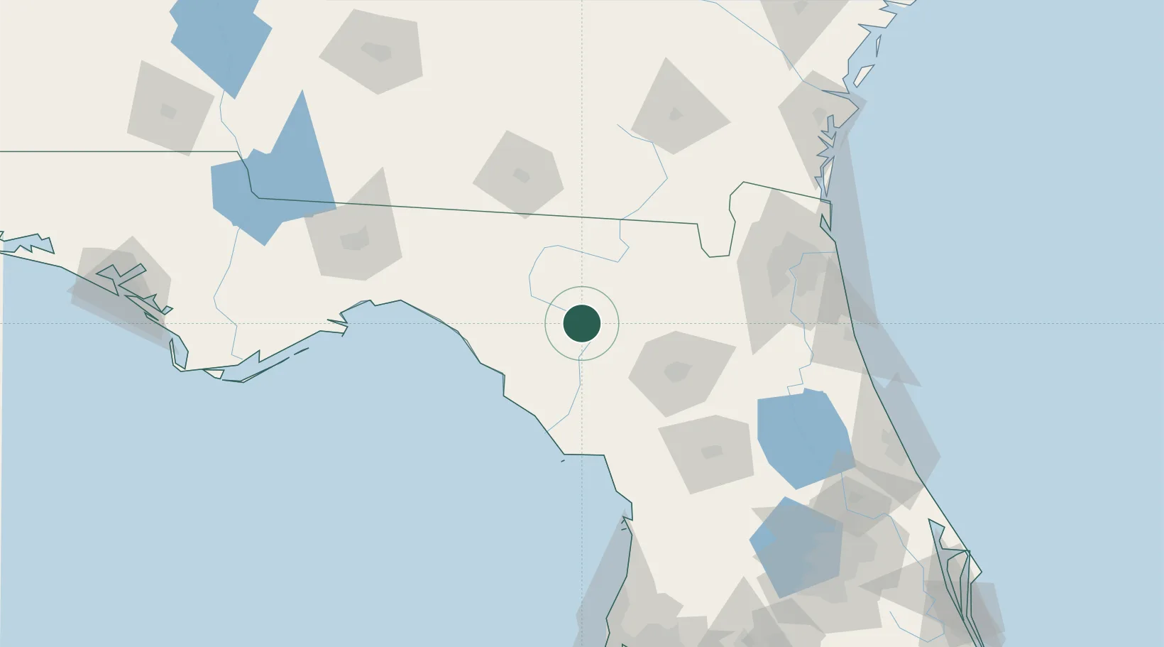
Place type
Populated place
Region
Florida
Population
721
Time zone
America/New_York
Elevation
13 m
Location
Nearby Logistics Neighbours
Cities
- 1McAlpin19 km
- 2Fort White22 km
- 3Wellborn30 km
- 4Houston32 km
- 5Trenton42 km
Ports
- 1Jacksonville129 km
- 2Mayport152 km
- 3St Augustine156 km
- 4Fernandina Beach162 km
- 5Carrabelle168 km
Airports
- 1Gainesville Regional Airport71 km
- 2Valdosta Regional Airport97 km
- 3Cecil Airport105 km
- 4Moody Air Force Base114 km
- 5Jacksonville Naval Air Station (Towers Field)124 km
Trade Zones
- 1FTZ No. 064 Jacksonville102 km
- 2FTZ No. 198 Volusia County178 km
- 3FTZ No. 144 Brunswick190 km
- 4FTZ No. 250 Seminole County204 km
- 5FTZ No. 193 Pinellas County210 km
DatabookThe Record of Consolidated Knowledge
United States beyond logistics?