Transport Functions
Road
Multimodal
Hub Profile
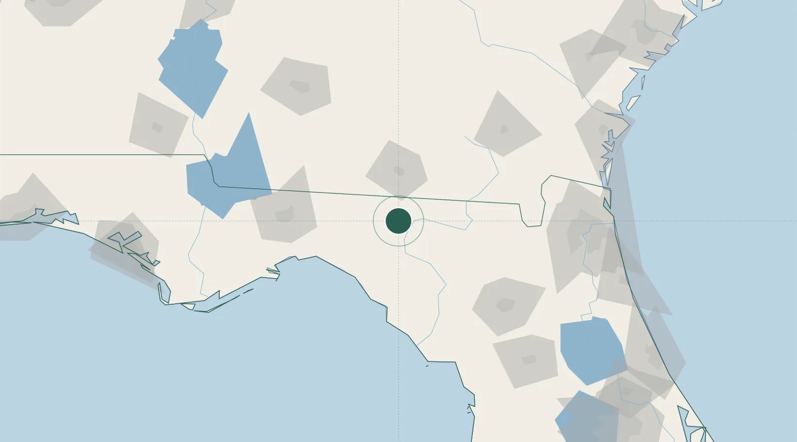
Place type
Populated place
Region
Florida
Population
331
Time zone
America/New_York
Elevation
27 m
Location
Nearby Logistics Neighbours
Ports
- 1Carrabelle146 km
- 2Jacksonville159 km
- 3Fernandina Beach178 km
- 4Mayport179 km
- 5Apalachicola180 km
Airports
- 1Valdosta Regional Airport41 km
- 2Moody Air Force Base62 km
- 3Tallahassee International Airport101 km
- 4Gainesville Regional Airport128 km
- 5Cecil Airport138 km
Trade Zones
- 1FTZ No. 064 Jacksonville129 km
- 2FTZ No. 144 Brunswick190 km
- 3FTZ No. 233 Dothan222 km
- 4FTZ No. 065 Panama City236 km
- 5FTZ No. 198 Volusia County236 km
DatabookThe Record of Consolidated Knowledge
United States beyond logistics?