UN/LOCODE hub · United States
USFW4
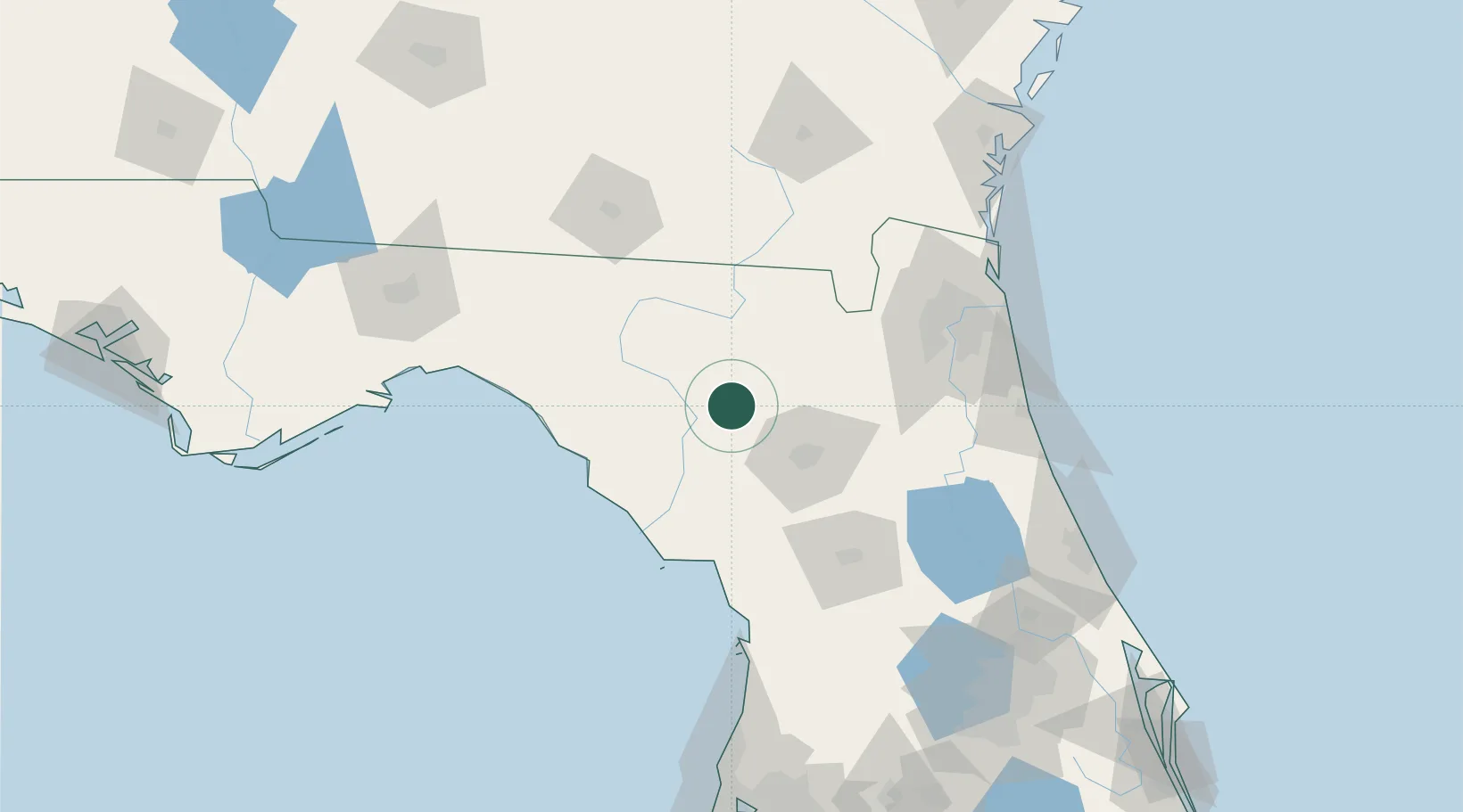
Fort White
29.9167°, -82.7167°
566
Population
1
Transport functions
Transport Functions
Multimodal
Hub Profile
Place type
Populated place
Region
Florida
Population
566
Time zone
America/New_York
Elevation
21 m
Location
Nearby Logistics Neighbours
Ports
- 1Jacksonville112 km
- 2Mayport135 km
- 3St Augustine135 km
- 4Fernandina Beach147 km
- 5Brunswick180 km
Airports
Trade Zones
- 1FTZ No. 064 Jacksonville87 km
- 2FTZ No. 198 Volusia County158 km
- 3FTZ No. 144 Brunswick180 km
- 4FTZ No. 250 Seminole County185 km
- 5FTZ No. 042 Orlando198 km
DatabookThe Record of Consolidated Knowledge
United States beyond logistics?