UN/LOCODE hub · United States
USZEX
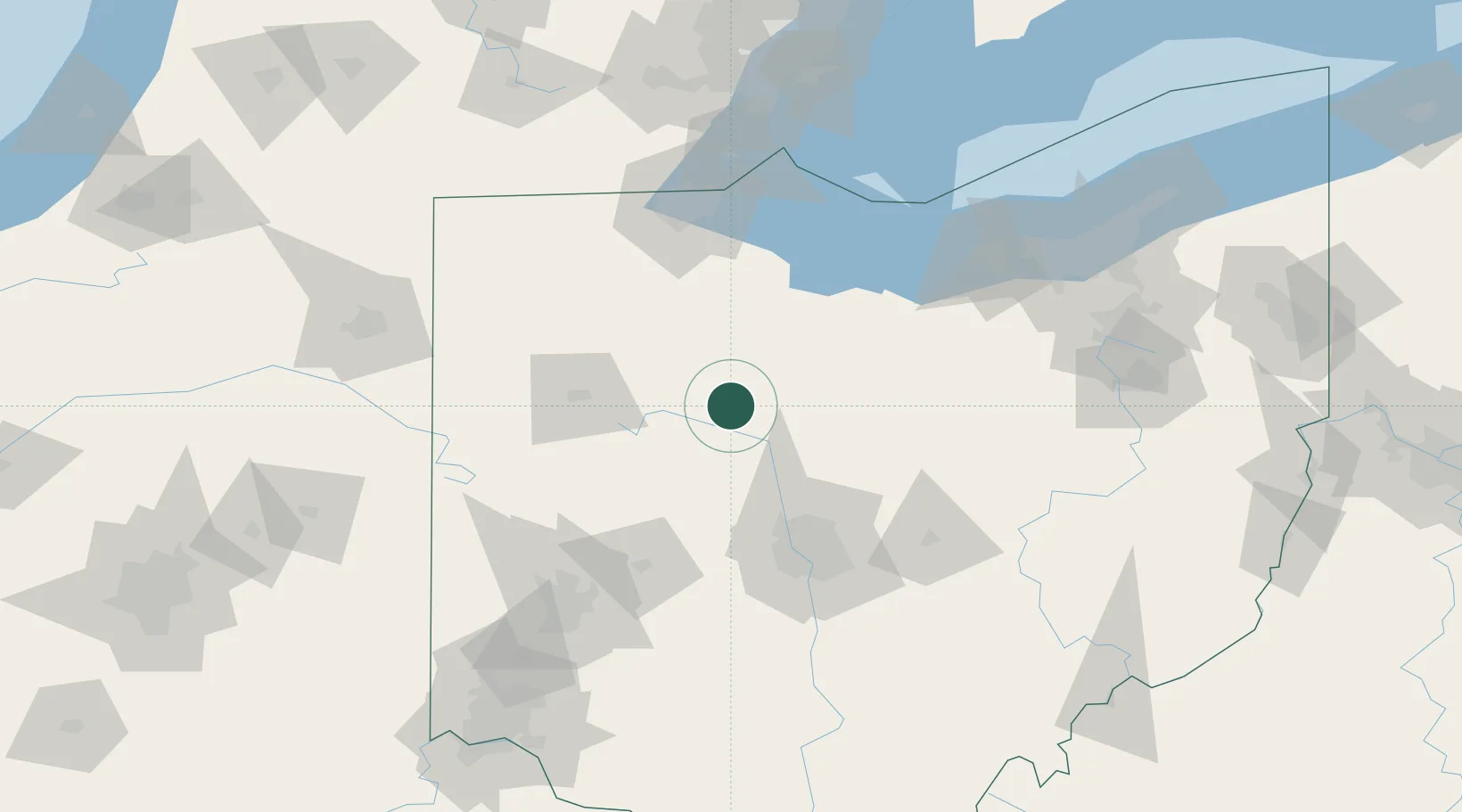
Marseilles
40.7000°, -83.3833°
110
Population
1
Transport functions
Transport Functions
Multimodal
Hub Profile
Place type
Populated place
Region
Ohio
Population
110
Time zone
America/New_York
Elevation
267 m
Location
Nearby Logistics Neighbours
Cities
- 1Harpster12 km
- 2Forest, Hardin15 km
- 3Dunkirk23 km
- 4Pickerington26 km
- 5Haynesville26 km
Ports
- 1Port Clinton98 km
- 2Sandusky100 km
- 3Huron105 km
- 4Toledo111 km
- 5Put In Bay116 km
Airports
Trade Zones
- 1FTZ No. 151 Findlay47 km
- 2FTZ No. 138 Franklin County105 km
- 3FTZ No. 008 Toledo107 km
- 4FTZ No. 100 Dayton126 km
- 5FTZ No. 181 Akron Canton141 km
DatabookThe Record of Consolidated Knowledge
United States beyond logistics?