Transport Functions
Multimodal
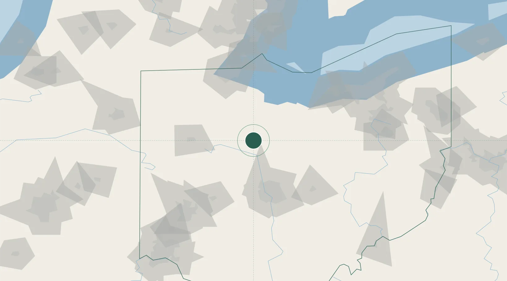
Hub Profile
Place type
Populated place
Region
Ohio
Population
201
Time zone
America/New_York
Elevation
276 m
Location
Nearby Logistics Neighbours
Cities
- 1Marseilles12 km
- 2Forest, Hardin22 km
- 3Sycamore23 km
- 4Caledonia26 km
- 5Pickerington28 km
Ports
- 1Port Clinton91 km
- 2Sandusky91 km
- 3Huron95 km
- 4Vermilion107 km
- 5Put In Bay108 km
Airports
Trade Zones
- 1FTZ No. 151 Findlay51 km
- 2FTZ No. 008 Toledo105 km
- 3FTZ No. 138 Franklin County105 km
- 4FTZ No. 181 Akron Canton129 km
- 5FTZ No. 100 Dayton136 km
DatabookThe Record of Consolidated Knowledge
United States beyond logistics?