UN/LOCODE hub · United States
USFVO

Forest, Hardin

40.8000°, -83.5000°
2
Transport functions

Transport Functions

Rail
Road
UN/LOCODE

Hub Profile

Region
OH
GeoNames

Location

Location of USFVO
Natural Earth 10m (public domain) · OH · USFVO · 40.80, -83.50GoogleOSMYandex

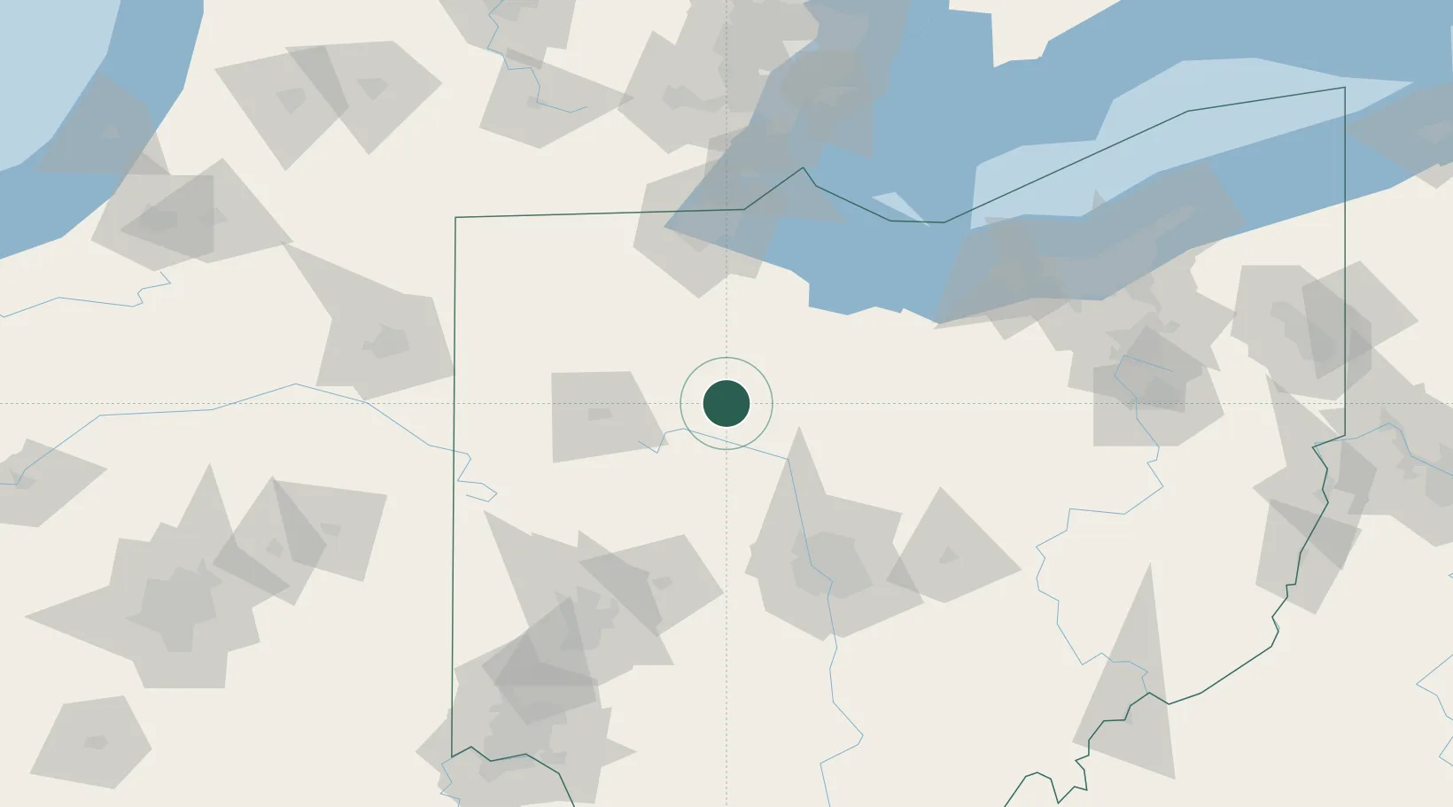
Nearby Logistics Neighbours

Cities
  1. 1Dunkirk11 km
  2. 2Marseilles15 km
  3. 3Harpster22 km
  4. 4Ada27 km
  5. 5Sycamore32 km
Nearest neighbours — logibook spatial index (haversine) over the source coordinates
Ports
  1. 1Port Clinton93 km
  2. 2Sandusky98 km
  3. 3Toledo100 km
  4. 4Huron104 km
  5. 5Put In Bay110 km
Nearest neighbours — logibook spatial index (haversine) over the source coordinates
Airports
  1. 1Findlay Airport28 km
  2. 2Mansfield Lahm Regional Airport83 km
  3. 3The Ohio State University Airport - Don Scott Field88 km
  4. 4Eugene F. Kranz Toledo Express Airport91 km
  5. 5Erie-Ottawa International Airport96 km
Nearest neighbours — logibook spatial index (haversine) over the source coordinates
Trade Zones
  1. 1FTZ No. 151 Findlay32 km
  2. 2FTZ No. 008 Toledo95 km
  3. 3FTZ No. 138 Franklin County119 km
  4. 4FTZ No. 100 Dayton130 km
  5. 5FTZ No. 181 Akron Canton149 km
Nearest neighbours — logibook spatial index (haversine) over the source coordinates
DatabookThe Record of Consolidated Knowledge
United States beyond logistics?
Browse databook

All Sources

LocationsUN/LOCODE
UN/LOCODE — free
Portsthe NGA World Port Index
Public domain (US gov)
AirportsOurAirports
Public domain
Trade Zonesthe World Bank SEZ database
CC BY 4.0
Trade ZonesOpen Zone Map
CC BY
← United States locations