UN/LOCODE hub · United States
USZEU
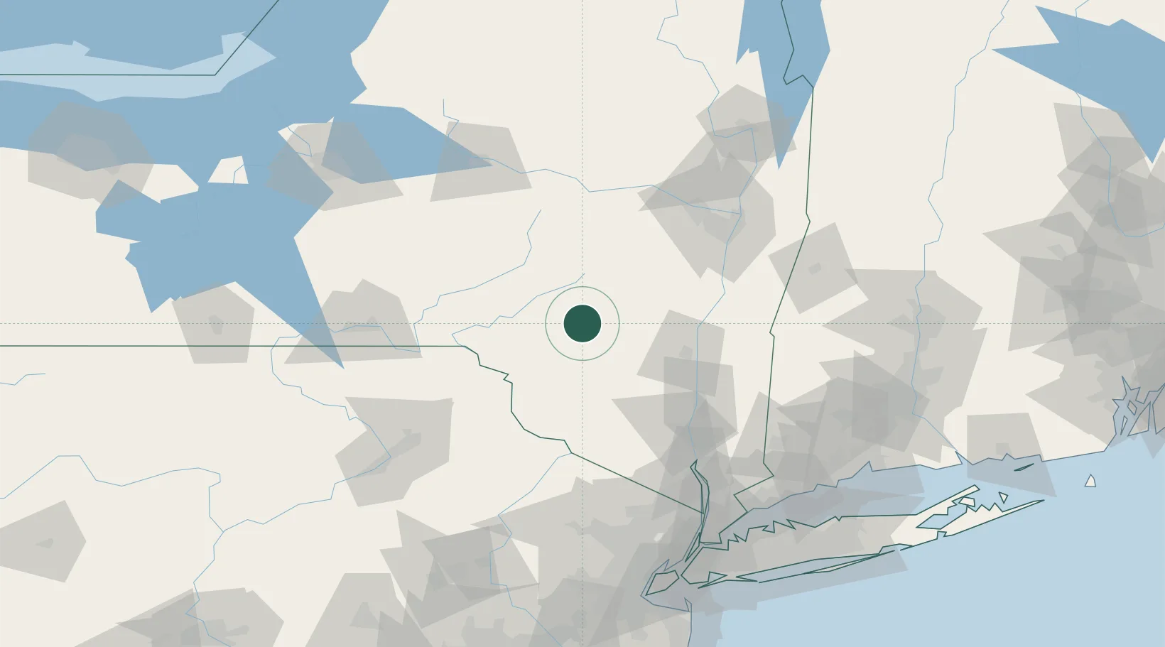
Margaretville
42.1333°, -74.6333°
577
Population
1
Transport functions
Transport Functions
Multimodal
Hub Profile
Place type
Populated place
Region
New York
Population
577
Time zone
America/New_York
Elevation
401 m
Location
Nearby Logistics Neighbours
Cities
- 1Denver9 km
- 2Grand Gorge28 km
- 3Delhi30 km
- 4Downsville30 km
- 5Rockland31 km
Ports
- 1Kingston59 km
- 2Catskill65 km
- 3Poughkeepsie74 km
- 4Newburgh88 km
- 5Albany93 km
Airports
Trade Zones
- 1FTZ No. 037 Orange County86 km
- 2FTZ No. 121 Albany93 km
- 3FTZ No. 024 Pittston133 km
- 4FTZ No. 044 Morris County142 km
- 5FTZ No. 201 Holyoke159 km
DatabookThe Record of Consolidated Knowledge
United States beyond logistics?