Medium airport · United States

Greater Binghamton/Edwin A Link fieldKBGM
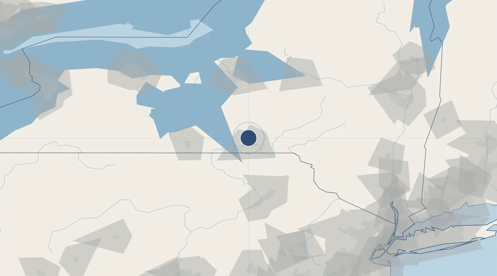
42.2087°, -75.9798°
7,305 ft
Longest runway
2
Runways
1,636 ft
Elevation

Runway & Layout

Greater Binghamton/Edwin A Link field runway & taxiway layout
Runway & taxiway layout — OpenStreetMap (ODbL) / OurAirports

Radio Frequencies

ATIS
128.15 MHz
TWR
119.3 MHz
GND
121.9 MHz
CLD
125.05 MHz
CLNC DEL
CTAF
119.3 MHz
A/D
118.6 MHz
APP/DEP
RDO
112.2 MHz
BUFFALO RDO
UNIC
122.95 MHz
UNICOM
OurAirports

Navaids

BG NDB Smite 332 kHz
CFB VORTAC Binghamton 112.20 MHz
OurAirports

Runways · 2

RunwayDimensions SurfaceTrue headingLit
16/34 7,305 × 150ft Asphalt 148°
10/28 5,001 × 150ft Asphalt 087°
OurAirports

Airport Specifications

IATA code
BGM
OurAirports
ICAO code
KBGM
OurAirports
Airport class
Medium airport
OurAirports
Scheduled service
Yes
OurAirports
Runway surface
Asphalt
OurAirports
Served city
Binghamton
OurAirports

Location

Location of KBGM
Natural Earth 10m (public domain) · New York · KBGM · 42.21, -75.98GoogleOSMYandex

Nearby Logistics Neighbours

Airports
  1. 1Ithaca Tompkins Regional Airport50 km
  2. 2Elmira Corning Regional Airport75 km
  3. 3Wilkes-Barre/Scranton International Airport99 km
  4. 4Syracuse Hancock International Airport101 km
  5. 5Griffiss International Airport123 km
Nearest neighbours — logibook spatial index (haversine) over the source coordinates
Cities
  1. 1Chenango Bridge10 km
  2. 2Vestal15 km
  3. 3Greene22 km
  4. 4Conklin25 km
  5. 5Kirkwood25 km
Nearest neighbours — logibook spatial index (haversine) over the source coordinates
Ports
  1. 1Sodus Bay143 km
  2. 2Oswego147 km
  3. 3Kingston169 km
  4. 4Catskill175 km
  5. 5Rochester177 km
Nearest neighbours — logibook spatial index (haversine) over the source coordinates
Trade Zones
  1. 1FTZ No. 024 Pittston99 km
  2. 2FTZ No. 172 Oneida County115 km
  3. 3FTZ No. 037 Orange County127 km
  4. 4FTZ No. 090 Onondaga146 km
  5. 5FTZ No. 289 Ontario County146 km
Nearest neighbours — logibook spatial index (haversine) over the source coordinates
DatabookThe Record of Consolidated Knowledge
United States beyond logistics?
Browse databook

All Sources

AirportsOurAirports
Public domain
Portsthe NGA World Port Index
Public domain (US gov)
LocationsUN/LOCODE
UN/LOCODE — free
Trade Zonesthe World Bank SEZ database
CC BY 4.0
Trade ZonesOpen Zone Map
CC BY
InfrastructureOpenStreetMap
ODbL 1.0
← United States airports