Transport Functions
Multimodal
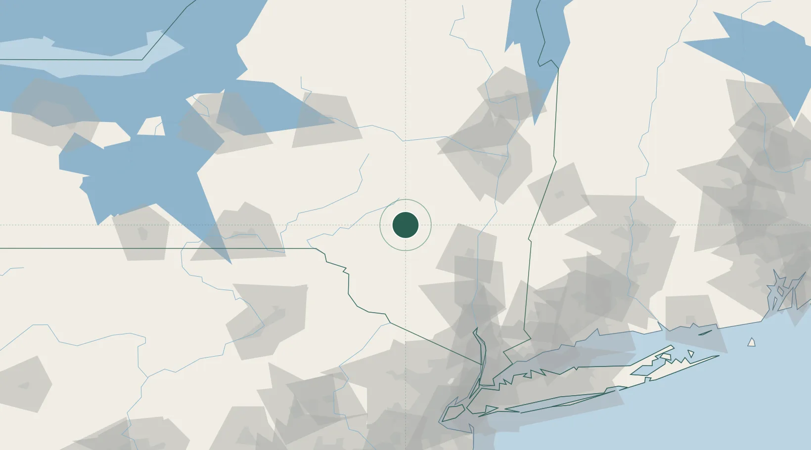
Hub Profile
Place type
Populated place
Region
New York
Time zone
America/New_York
Elevation
497 m
Location
Nearby Logistics Neighbours
Cities
- 1Margaretville9 km
- 2Grand Gorge19 km
- 3Delhi32 km
- 4Downsville37 km
- 5Rockland41 km
Ports
- 1Kingston58 km
- 2Catskill59 km
- 3Poughkeepsie75 km
- 4Albany84 km
- 5Rensselaer84 km
Airports
Trade Zones
- 1FTZ No. 121 Albany84 km
- 2FTZ No. 037 Orange County95 km
- 3FTZ No. 024 Pittston142 km
- 4FTZ No. 044 Morris County150 km
- 5FTZ No. 201 Holyoke153 km
DatabookThe Record of Consolidated Knowledge
United States beyond logistics?