UN/LOCODE hub · United States
USDWQ
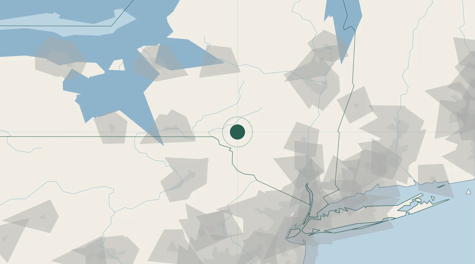
Downsville
42.0667°, -74.9833°
617
Population
2
Transport functions
Transport Functions
Port
Multimodal
Hub Profile
Place type
Populated place
Region
New York
Population
617
Time zone
America/New_York
Elevation
343 m
Location
Nearby Logistics Neighbours
Cities
- 1Rockland16 km
- 2Delhi24 km
- 3Hancock28 km
- 4Margaretville30 km
- 5Jeffersonville34 km
Ports
- 1Kingston85 km
- 2Poughkeepsie95 km
- 3Catskill95 km
- 4Newburgh103 km
- 5Albany120 km
Airports
Trade Zones
- 1FTZ No. 037 Orange County76 km
- 2FTZ No. 024 Pittston107 km
- 3FTZ No. 121 Albany120 km
- 4FTZ No. 044 Morris County134 km
- 5FTZ No. 172 Oneida County156 km
DatabookThe Record of Consolidated Knowledge
United States beyond logistics?