Transport Functions
Port
Road
Multimodal
Hub Profile
Place type
Provincial seat
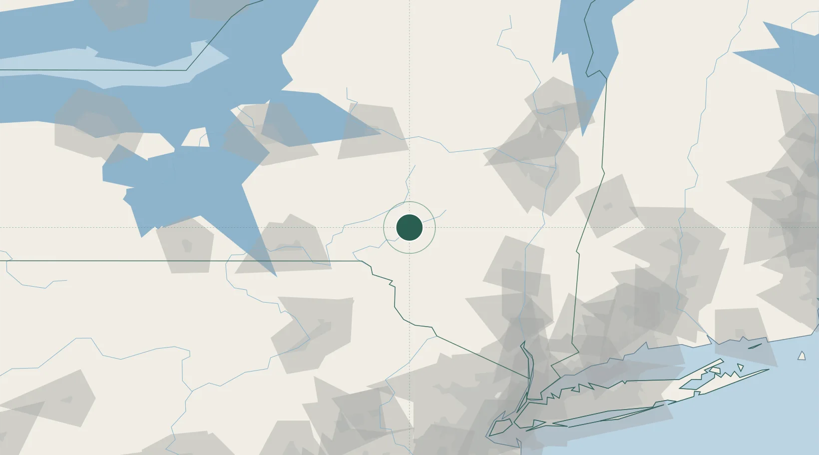
Region
New York
Population
3,157
Time zone
America/New_York
Elevation
418 m
Location
Nearby Logistics Neighbours
Cities
- 1Downsville24 km
- 2Waverly26 km
- 3Margaretville30 km
- 4Schenevus31 km
- 5Denver32 km
Ports
- 1Kingston89 km
- 2Catskill90 km
- 3Poughkeepsie104 km
- 4Albany105 km
- 5Rensselaer105 km
Airports
Trade Zones
- 1FTZ No. 037 Orange County100 km
- 2FTZ No. 121 Albany103 km
- 3FTZ No. 024 Pittston129 km
- 4FTZ No. 172 Oneida County139 km
- 5FTZ No. 044 Morris County158 km
DatabookThe Record of Consolidated Knowledge
United States beyond logistics?