UN/LOCODE hub · United States
USZEJ
Lookout Mountain
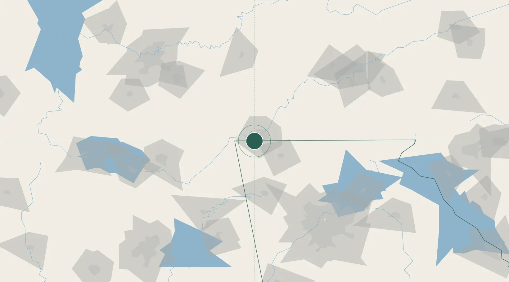
34.9833°, -85.3333°
1,884
Population
1
Transport functions
Transport Functions
Multimodal
Hub Profile
Place type
Populated place
Region
Tennessee
Population
1,884
Time zone
America/New_York
Elevation
564 m
Location
Nearby Logistics Neighbours
Cities
- 1Flintstone6 km
- 2Fort Oglethorpe9 km
- 3Chattanooga17 km
- 4Trenton20 km
- 5Ooltewah27 km
Ports
- 1Savannah509 km
- 2Beaufort516 km
- 3Port Royal519 km
- 4Pensacola539 km
- 5Panama City540 km
Airports
Trade Zones
- 1FTZ No. 134 Chattanooga13 km
- 2FTZ No. 083 Huntsville136 km
- 3FTZ No. 270 Lawrence County149 km
- 4FTZ No. 148 Knoxville150 km
- 5FTZ No. 265 Conroe (Montgomery County)152 km
DatabookThe Record of Consolidated Knowledge
United States beyond logistics?