Transport Functions
Multimodal
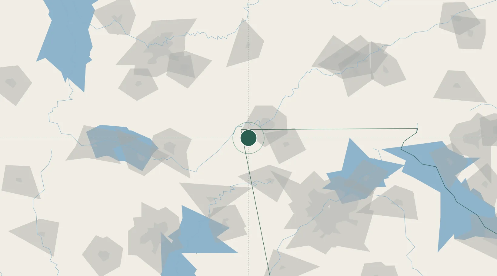
Hub Profile
Place type
Populated place
Region
Georgia
Population
2,238
Time zone
America/New_York
Elevation
231 m
Location
Nearby Logistics Neighbours
Cities
- 1Flintstone17 km
- 2Lookout Mountain20 km
- 3Fort Oglethorpe24 km
- 4Mentone34 km
- 5Henagar36 km
Ports
- 1Savannah513 km
- 2Pensacola522 km
- 3Beaufort523 km
- 4Port Royal526 km
- 5Mobile526 km
Airports
Trade Zones
- 1FTZ No. 134 Chattanooga28 km
- 2FTZ No. 083 Huntsville118 km
- 3FTZ No. 270 Lawrence County132 km
- 4FTZ No. 265 Conroe (Montgomery County)135 km
- 5FTZ No. 026 Atlanta160 km
DatabookThe Record of Consolidated Knowledge
United States beyond logistics?