UN/LOCODE hub · United States
USZDB

Flintstone

34.9333°, -85.3333°
1
Transport functions

Transport Functions

Multimodal
UN/LOCODE

Hub Profile

Place type
Populated place
GeoNames
Region
Georgia
GeoNames
Time zone
America/New_York
GeoNames
Elevation
211 m
GeoNames

Location

Location of USZDB
Natural Earth 10m (public domain) · Georgia · USZDB · 34.93, -85.33GoogleOSMYandex

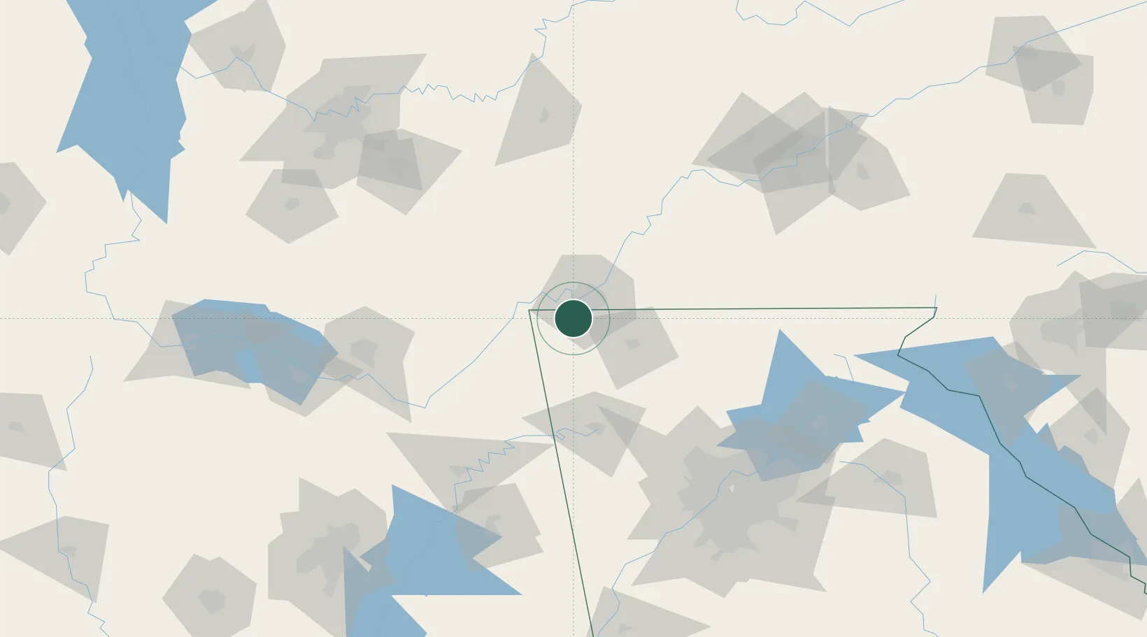
Nearby Logistics Neighbours

Cities
  1. 1Lookout Mountain6 km
  2. 2Fort Oglethorpe8 km
  3. 3Trenton17 km
  4. 4Chattanooga21 km
  5. 5Ooltewah30 km
Nearest neighbours — logibook spatial index (haversine) over the source coordinates
Ports
  1. 1Savannah506 km
  2. 2Beaufort513 km
  3. 3Port Royal516 km
  4. 4Pensacola534 km
  5. 5Panama City535 km
Nearest neighbours — logibook spatial index (haversine) over the source coordinates
Airports
  1. 1Chattanooga Metropolitan Airport (Lovell Field)16 km
  2. 2Richard B Russell Airport67 km
  3. 3Crossville Memorial Airport Whitson Field115 km
  4. 4Cobb County International Airport-McCollum Field123 km
  5. 5Redstone Army Air Field127 km
Nearest neighbours — logibook spatial index (haversine) over the source coordinates
Trade Zones
  1. 1FTZ No. 134 Chattanooga19 km
  2. 2FTZ No. 083 Huntsville135 km
  3. 3FTZ No. 270 Lawrence County148 km
  4. 4FTZ No. 265 Conroe (Montgomery County)151 km
  5. 5FTZ No. 148 Knoxville154 km
Nearest neighbours — logibook spatial index (haversine) over the source coordinates
DatabookThe Record of Consolidated Knowledge
United States beyond logistics?
Browse databook

All Sources

LocationsUN/LOCODE
UN/LOCODE — free
Portsthe NGA World Port Index
Public domain (US gov)
AirportsOurAirports
Public domain
Trade Zonesthe World Bank SEZ database
CC BY 4.0
Trade ZonesOpen Zone Map
CC BY
← United States locations