Transport Functions
Port
Hub Profile
Region
GA
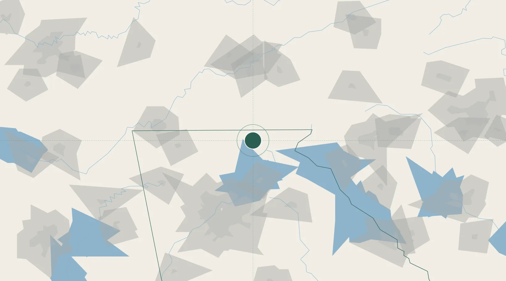
Location
Nearby Logistics Neighbours
Cities
- 1Blairsville5 km
- 2Helen26 km
- 3Murphy28 km
- 4Blue Ridge35 km
- 5Marble35 km
Ports
- 1Beaufort405 km
- 2Savannah406 km
- 3Port Royal408 km
- 4Charleston436 km
- 5Darien452 km
Airports
Trade Zones
- 1FTZ No. 026 Atlanta128 km
- 2FTZ No. 148 Knoxville129 km
- 3FTZ No. 134 Chattanooga135 km
- 4FTZ No. 038 Spartanburg County154 km
- 5FTZ No. 204 Tri-Cities228 km
DatabookThe Record of Consolidated Knowledge
United States beyond logistics?