UN/LOCODE hub · United States
USIVL
Blairsville
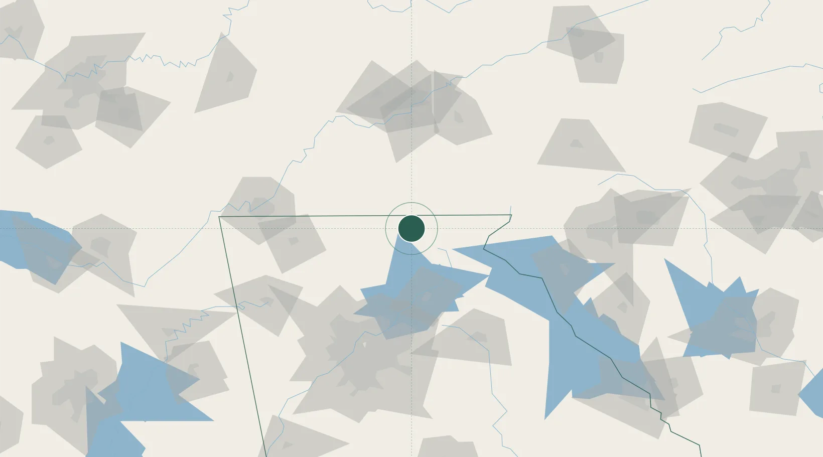
34.8833°, -83.9667°
554
Population
2
Transport functions
Transport Functions
Road
Multimodal
Hub Profile
Place type
Provincial seat
Region
Georgia
Population
554
Time zone
America/New_York
Elevation
574 m
Location
Nearby Logistics Neighbours
Cities
- 1Blairesville5 km
- 2Murphy23 km
- 3Helen31 km
- 4Marble32 km
- 5Blue Ridge32 km
Ports
- 1Beaufort409 km
- 2Savannah410 km
- 3Port Royal413 km
- 4Charleston441 km
- 5Darien457 km
Airports
Trade Zones
- 1FTZ No. 148 Knoxville125 km
- 2FTZ No. 026 Atlanta131 km
- 3FTZ No. 134 Chattanooga131 km
- 4FTZ No. 038 Spartanburg County157 km
- 5FTZ No. 204 Tri-Cities227 km
DatabookThe Record of Consolidated Knowledge
United States beyond logistics?