UN/LOCODE hub · United States
USSA3
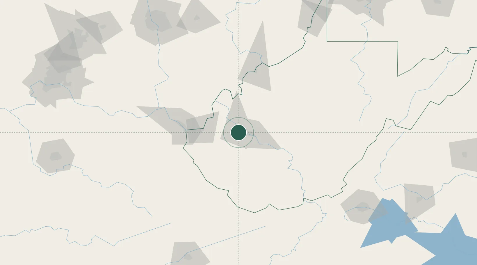
Saint Albans
38.3833°, -81.8167°
11,044
Population
3
Transport functions
Transport Functions
Port
Rail
Road
Hub Profile
Place type
Populated place
Region
West Virginia
Population
11,044
Time zone
America/New_York
Elevation
186 m
Location
Nearby Logistics Neighbours
Cities
- 1Cross Lanes5 km
- 2Poca9 km
- 3Scott Depot10 km
- 4Teays13 km
- 5Eleanor20 km
Airports
Trade Zones
- 1FTZ No. 229 Charleston10 km
- 2FTZ No. 238 Dublin173 km
- 3FTZ No. 138 Franklin County186 km
- 4FTZ No. 054 Clinton County207 km
- 5FTZ No. 204 Tri-Cities218 km
DatabookThe Record of Consolidated Knowledge
United States beyond logistics?