Transport Functions
Multimodal
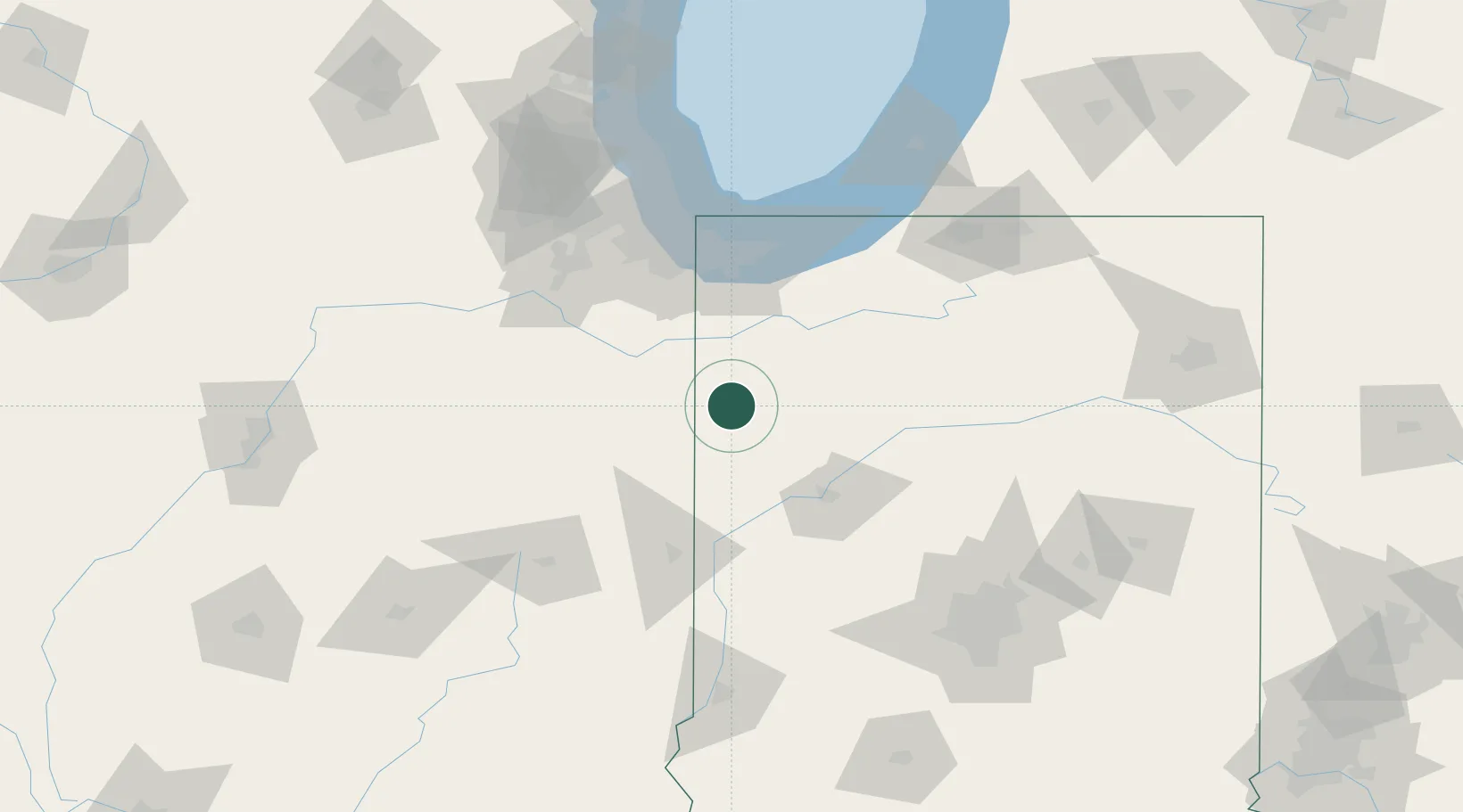
Hub Profile
Place type
Populated place
Region
Indiana
Population
972
Time zone
America/Chicago
Elevation
199 m
Location
Nearby Logistics Neighbours
Cities
- 1Collegeville18 km
- 2Earl Park21 km
- 3Donovan23 km
- 4Fowler26 km
- 5Shelby37 km
Ports
- 1Gary85 km
- 2Indiana Harbor91 km
- 3Calumet Harbor99 km
- 4Michigan City105 km
- 5Chicago117 km
Airports
Trade Zones
- 1FTZ No. 152 Burns Harbor87 km
- 2FTZ No. 022 Chicago118 km
- 3FTZ No. 125 South Bend124 km
- 4FTZ No. 072 Indianapolis153 km
- 5FTZ No. 292 Lake County170 km
DatabookThe Record of Consolidated Knowledge
United States beyond logistics?