Transport Functions
Port
Rail
Road
Hub Profile
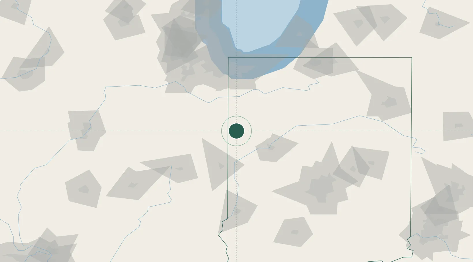
Place type
Populated place
Region
Indiana
Population
334
Time zone
America/Indiana/Indianapolis
Elevation
247 m
Location
Nearby Logistics Neighbours
Ports
- 1Gary106 km
- 2Indiana Harbor111 km
- 3Calumet Harbor119 km
- 4Michigan City126 km
- 5Chicago136 km
Airports
Trade Zones
- 1FTZ No. 152 Burns Harbor108 km
- 2FTZ No. 022 Chicago136 km
- 3FTZ No. 072 Indianapolis140 km
- 4FTZ No. 125 South Bend143 km
- 5FTZ No. 245 Decatur167 km
DatabookThe Record of Consolidated Knowledge
United States beyond logistics?