Transport Functions
Rail
Road
Hub Profile
Place type
Populated place
Region
Wisconsin
Time zone
America/Chicago
Elevation
298 m
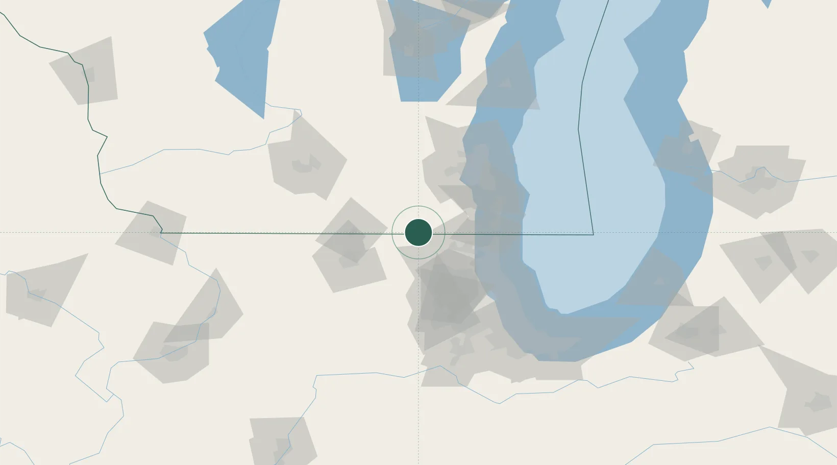
Location
Nearby Logistics Neighbours
Cities
- 1Genoa City14 km
- 2Richmond16 km
- 3Greenwood17 km
- 4Sharon19 km
- 5Darien20 km
Ports
- 1Kenosha55 km
- 2Waukegan57 km
- 3Great Lakes59 km
- 4Racine62 km
- 5Milwaukee76 km
Airports
Trade Zones
- 1FTZ No. 292 Lake County53 km
- 2FTZ No. 176 Rockford66 km
- 3FTZ No. 041 Milwaukee68 km
- 4FTZ No. 022 Chicago91 km
- 5FTZ No. 266 Dane County117 km
DatabookThe Record of Consolidated Knowledge
United States beyond logistics?