Transport Functions
Multimodal
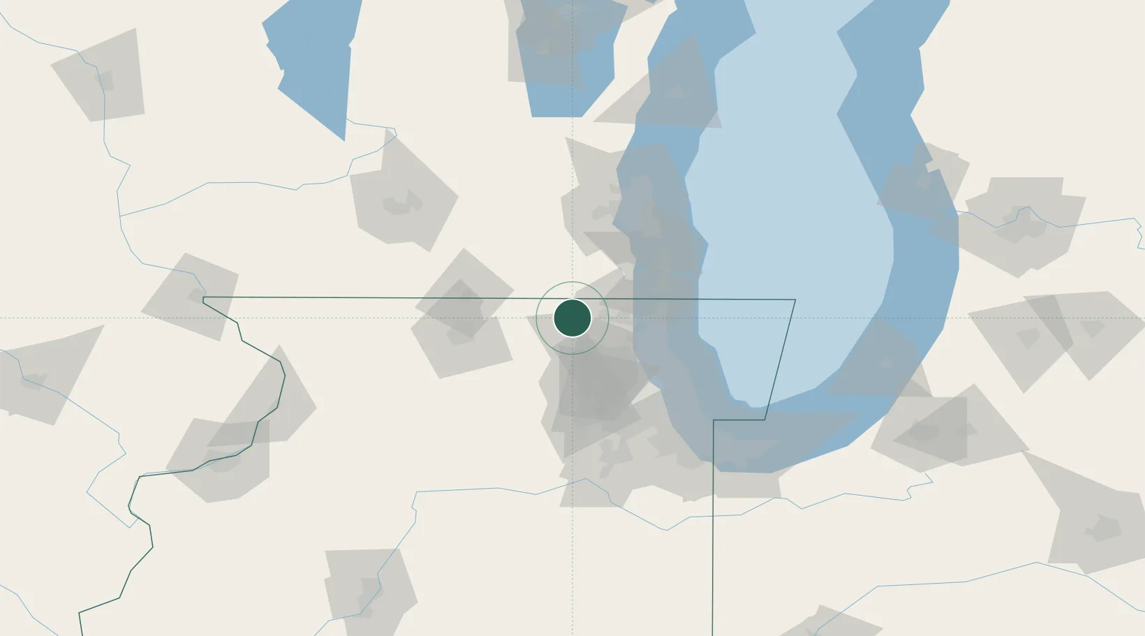
Hub Profile
Place type
Populated place
Region
Illinois
Population
251
Time zone
America/Chicago
Elevation
261 m
Location
Nearby Logistics Neighbours
Cities
- 1Johnsburg11 km
- 2Richmond12 km
- 3Genoa City14 km
- 4Zenda17 km
- 5Spring Grove17 km
Ports
- 1Great Lakes46 km
- 2Waukegan47 km
- 3Kenosha52 km
- 4Racine63 km
- 5Wilmette67 km
Airports
Trade Zones
- 1FTZ No. 292 Lake County41 km
- 2FTZ No. 176 Rockford69 km
- 3FTZ No. 022 Chicago74 km
- 4FTZ No. 041 Milwaukee78 km
- 5FTZ No. 152 Burns Harbor132 km
DatabookThe Record of Consolidated Knowledge
United States beyond logistics?