Transport Functions
Rail
Road
Hub Profile
Place type
Populated place
Region
Connecticut
Time zone
America/New_York
Elevation
27 m
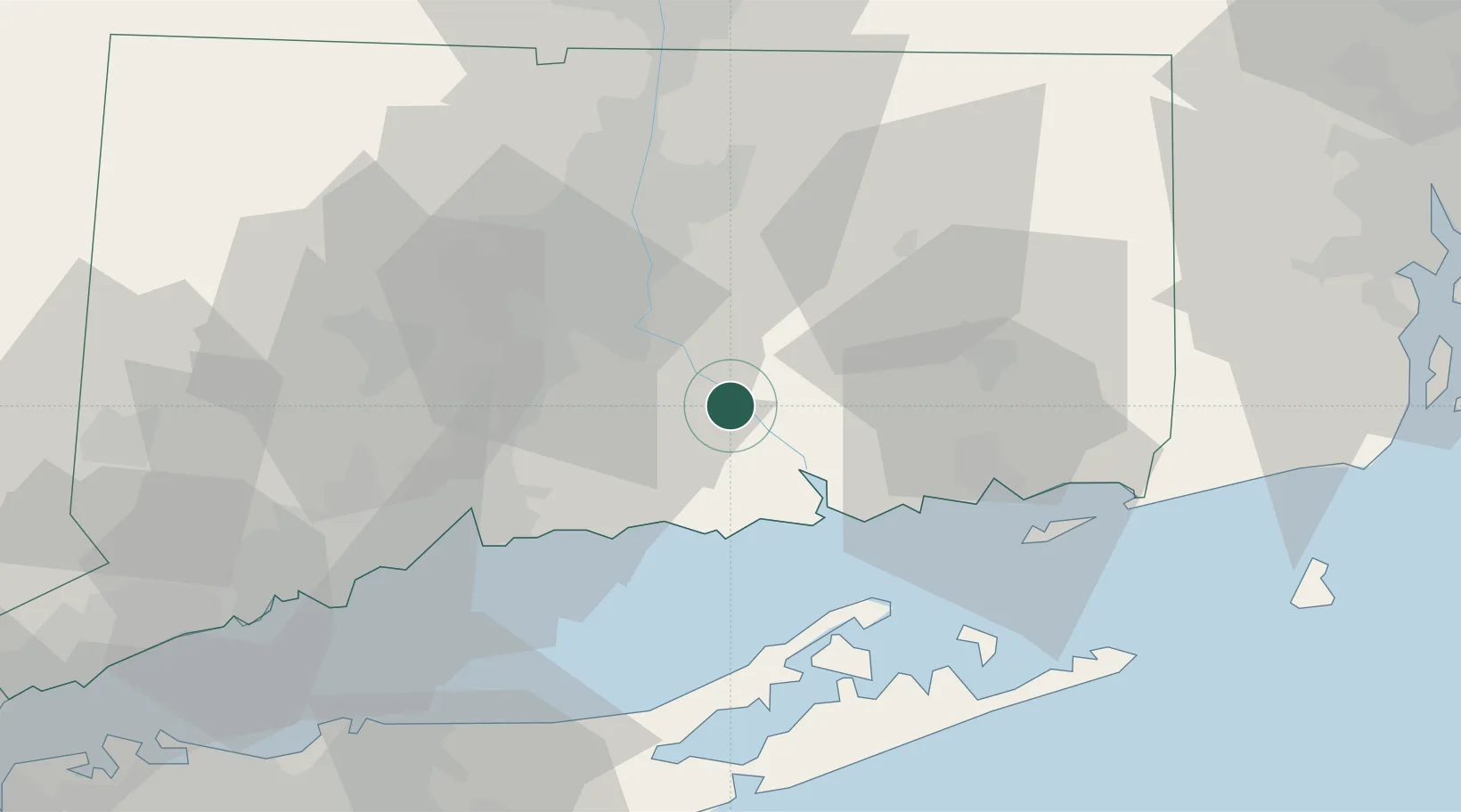
Location
Nearby Logistics Neighbours
Cities
- 1Moodus6 km
- 2East Hampton11 km
- 3Middlefield19 km
- 4Cromwell19 km
- 5South Glastonbury25 km
Ports
- 1Essex16 km
- 2Norwich35 km
- 3New London37 km
- 4Greenport42 km
- 5New Haven43 km
Airports
Trade Zones
- 1FTZ No. 208 New London36 km
- 2FTZ No. 162 New Haven40 km
- 3FTZ No. 071 Windsor Locks53 km
- 4FTZ No. 076 Bridgeport66 km
- 5FTZ No. 052 Suffolk County84 km
DatabookThe Record of Consolidated Knowledge
United States beyond logistics?