Transport Functions
Road
Multimodal
Hub Profile
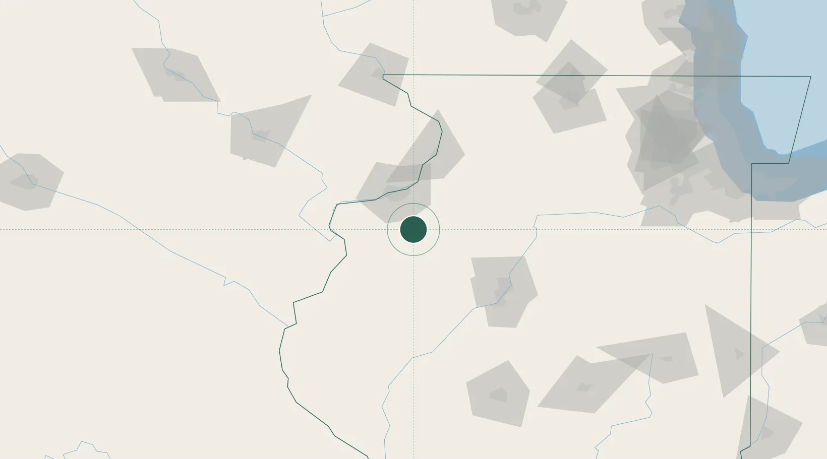
Place type
Populated place
Region
Illinois
Population
648
Time zone
America/Chicago
Elevation
245 m
Location
Nearby Logistics Neighbours
Cities
- 1Osco19 km
- 2Coal Valley25 km
- 3Oak Grove27 km
- 4Geneseo32 km
- 5Silvis33 km
Ports
- 1Chicago244 km
- 2Great Lakes244 km
- 3Wilmette245 km
- 4Calumet Harbor246 km
- 5Waukegan249 km
Airports
Trade Zones
- 1FTZ No. 055 Burlington74 km
- 2FTZ No. 114 Peoria87 km
- 3FTZ No. 271 Jo-Daviess and Carroll Counties125 km
- 4FTZ No. 175 Cedar Rapids146 km
- 5FTZ No. 176 Rockford152 km
DatabookThe Record of Consolidated Knowledge
United States beyond logistics?