UN/LOCODE hub · United States
USZCC
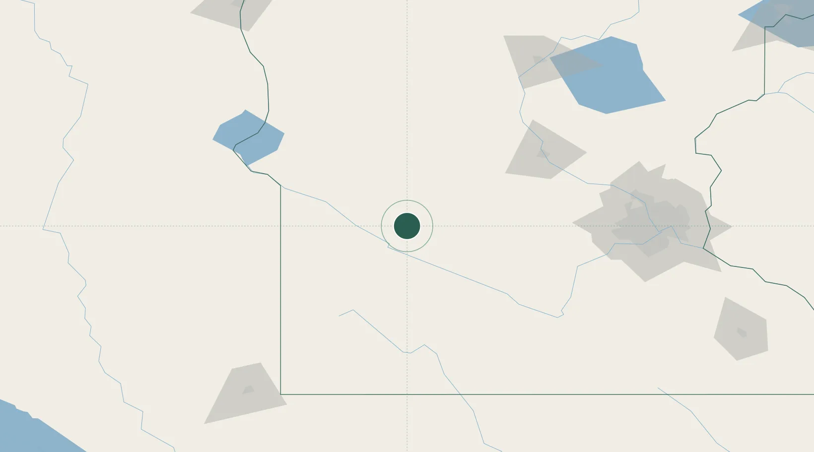
Clara City
44.9500°, -95.3667°
1,320
Population
2
Transport functions
Transport Functions
Port
Road
Hub Profile
Place type
Populated place
Region
Minnesota
Population
1,320
Time zone
America/Chicago
Elevation
322 m
Location
Nearby Logistics Neighbours
Ports
- 1Superior324 km
- 2Duluth324 km
- 3Two Harbors368 km
- 4Ashland394 km
- 5Washburn396 km
Airports
- 1Redwood Falls Municipal Airport50 km
- 2Hutchinson Health Heliport79 km
- 3Chandler Field102 km
- 4Saint Cloud Regional Airport122 km
- 5Watertown Regional Airport141 km
Trade Zones
- 1FTZ No. 119 Minneapolis-St. Paul168 km
- 2FTZ No. 220 Sioux Falls193 km
- 3FTZ No. 288 Northwest Iowa207 km
- 4FTZ No. 267 Fargo245 km
- 5FTZ No. 051 Duluth315 km
DatabookThe Record of Consolidated Knowledge
United States beyond logistics?