Transport Functions
Rail
Road
Multimodal
Hub Profile
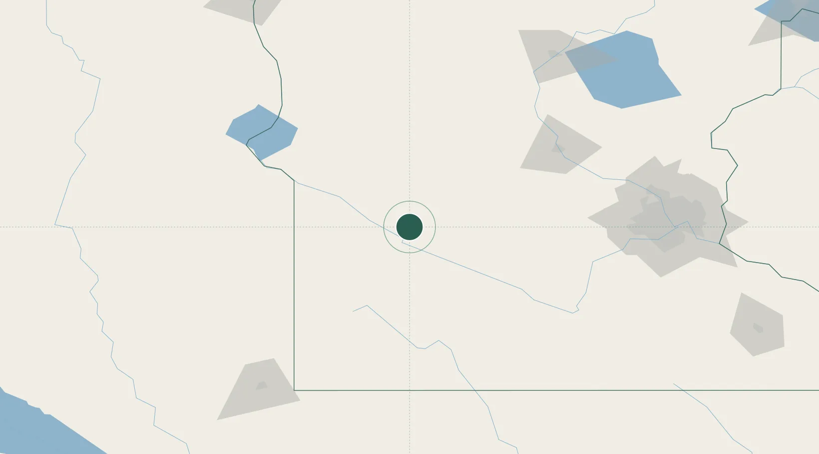
Place type
Populated place
Region
Minnesota
Population
351
Time zone
America/Chicago
Elevation
314 m
Location
Nearby Logistics Neighbours
Cities
- 1Clara City10 km
- 2Raymond23 km
- 3Prinsburg23 km
- 4Renville25 km
- 5Danvers46 km
Ports
- 1Superior333 km
- 2Duluth333 km
- 3Two Harbors377 km
- 4Ashland404 km
- 5Washburn406 km
Airports
- 1Redwood Falls Municipal Airport50 km
- 2Hutchinson Health Heliport86 km
- 3Chandler Field108 km
- 4Saint Cloud Regional Airport132 km
- 5Watertown Regional Airport133 km
Trade Zones
- 1FTZ No. 119 Minneapolis-St. Paul176 km
- 2FTZ No. 220 Sioux Falls184 km
- 3FTZ No. 288 Northwest Iowa199 km
- 4FTZ No. 267 Fargo246 km
- 5FTZ No. 051 Duluth324 km
DatabookThe Record of Consolidated Knowledge
United States beyond logistics?