Transport Functions
Rail
Road
Multimodal
Hub Profile
Place type
Populated place
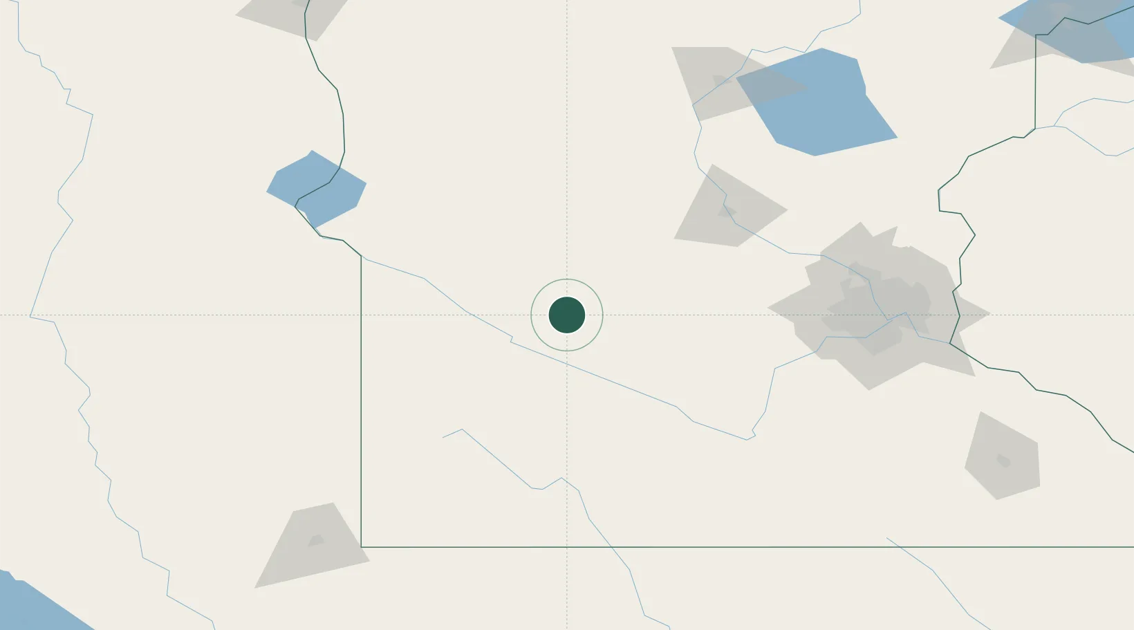
Region
Minnesota
Population
496
Time zone
America/Chicago
Elevation
335 m
Location
Nearby Logistics Neighbours
Cities
- 1Raymond10 km
- 2Clara City15 km
- 3Renville17 km
- 4Maynard23 km
- 5Atwater39 km
Ports
- 1Superior314 km
- 2Duluth314 km
- 3Two Harbors358 km
- 4Ashland383 km
- 5Washburn385 km
Airports
Trade Zones
- 1FTZ No. 119 Minneapolis-St. Paul153 km
- 2FTZ No. 220 Sioux Falls200 km
- 3FTZ No. 288 Northwest Iowa209 km
- 4FTZ No. 267 Fargo254 km
- 5FTZ No. 051 Duluth305 km
DatabookThe Record of Consolidated Knowledge
United States beyond logistics?