Transport Functions
Multimodal
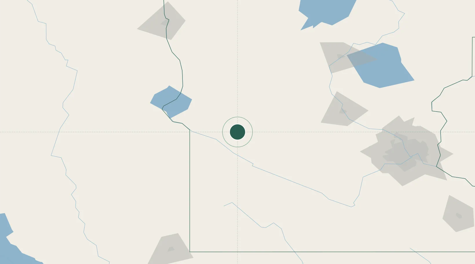
Hub Profile
Place type
Populated place
Region
Minnesota
Population
93
Time zone
America/Chicago
Elevation
314 m
Location
Nearby Logistics Neighbours
Cities
- 1Hancock24 km
- 2Odessa44 km
- 3Clara City46 km
- 4Maynard46 km
- 5Raymond49 km
Ports
- 1Duluth328 km
- 2Superior328 km
- 3Two Harbors371 km
- 4Ashland406 km
- 5Washburn407 km
Airports
- 1Chandler Field72 km
- 2Redwood Falls Municipal Airport96 km
- 3Hutchinson Health Heliport117 km
- 4Watertown Regional Airport117 km
- 5Saint Cloud Regional Airport136 km
Trade Zones
- 1FTZ No. 119 Minneapolis-St. Paul200 km
- 2FTZ No. 267 Fargo200 km
- 3FTZ No. 220 Sioux Falls208 km
- 4FTZ No. 288 Northwest Iowa235 km
- 5FTZ No. 103 Grand Forks314 km
DatabookThe Record of Consolidated Knowledge
United States beyond logistics?