Transport Functions
Rail
Road
Multimodal
Hub Profile
Place type
Populated place
Region
Minnesota
Population
756
Time zone
America/Chicago
Elevation
330 m
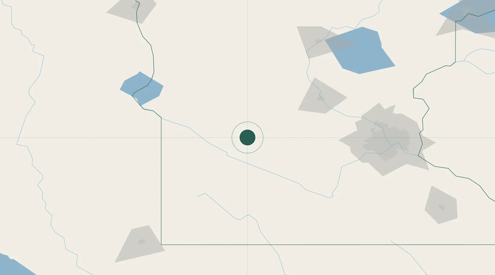
Location
Nearby Logistics Neighbours
Cities
- 1Prinsburg10 km
- 2Clara City13 km
- 3Maynard23 km
- 4Renville26 km
- 5Atwater38 km
Ports
- 1Superior311 km
- 2Duluth311 km
- 3Two Harbors355 km
- 4Ashland381 km
- 5Washburn384 km
Airports
- 1Redwood Falls Municipal Airport54 km
- 2Hutchinson Health Heliport70 km
- 3Chandler Field95 km
- 4Saint Cloud Regional Airport109 km
- 5Watertown Regional Airport152 km
Trade Zones
- 1FTZ No. 119 Minneapolis-St. Paul157 km
- 2FTZ No. 220 Sioux Falls205 km
- 3FTZ No. 288 Northwest Iowa217 km
- 4FTZ No. 267 Fargo244 km
- 5FTZ No. 051 Duluth302 km
DatabookThe Record of Consolidated Knowledge
United States beyond logistics?