UN/LOCODE hub · United States
USZC4
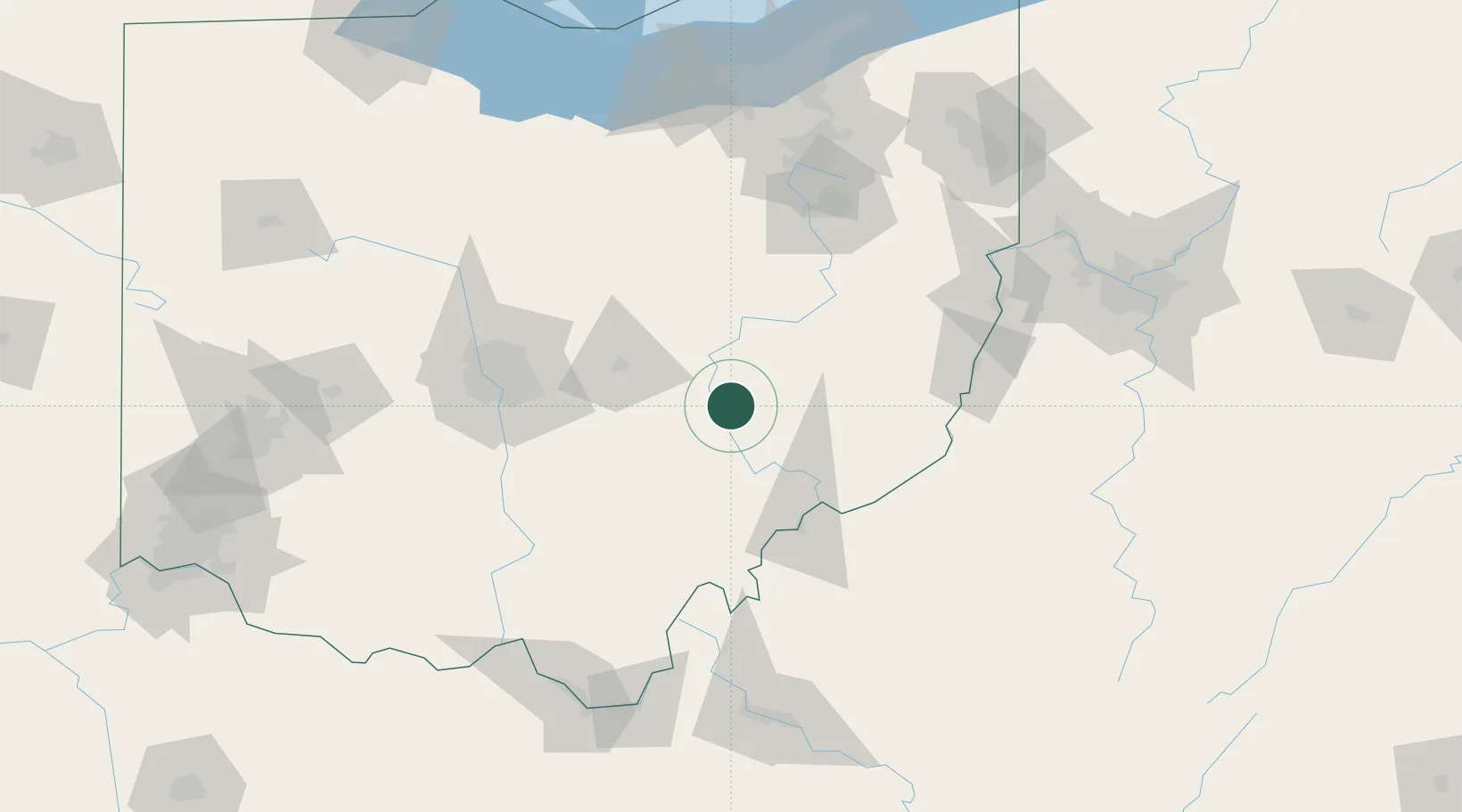
Duncan Falls
39.8667°, -81.9000°
880
Population
1
Transport functions
Transport Functions
Multimodal
Hub Profile
Place type
Populated place
Region
Ohio
Population
880
Time zone
America/New_York
Elevation
219 m
Location
Nearby Logistics Neighbours
Cities
- 1McDonald, Muskingum4 km
- 2Crooksville19 km
- 3New Concord19 km
- 4McConnelsville26 km
- 5Malta26 km
Airports
Trade Zones
- 1FTZ No. 138 Franklin County89 km
- 2FTZ No. 181 Akron Canton122 km
- 3FTZ No. 054 Clinton County169 km
- 4FTZ No. 033 Pittsburgh169 km
- 5FTZ No. 229 Charleston170 km
DatabookThe Record of Consolidated Knowledge
United States beyond logistics?