UN/LOCODE hub · United States
USOOS
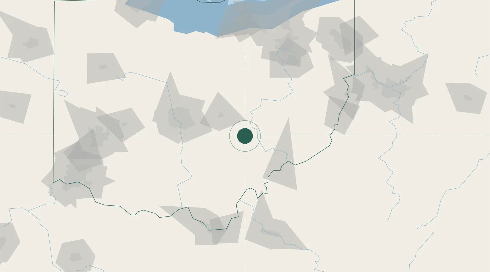
Crooksville
39.7667°, -82.0833°
2,498
Population
3
Transport functions
Transport Functions
Rail
Road
Multimodal
Hub Profile
Place type
Populated place
Region
Ohio
Population
2,498
Time zone
America/New_York
Elevation
239 m
Location
Nearby Logistics Neighbours
Cities
- 1New Lexington14 km
- 2Duncan Falls19 km
- 3Junction City, Perry19 km
- 4McDonald, Muskingum23 km
- 5McConnelsville25 km
Airports
Trade Zones
- 1FTZ No. 138 Franklin County73 km
- 2FTZ No. 181 Akron Canton136 km
- 3FTZ No. 054 Clinton County151 km
- 4FTZ No. 229 Charleston161 km
- 5FTZ No. 033 Pittsburgh188 km
DatabookThe Record of Consolidated Knowledge
United States beyond logistics?