UN/LOCODE hub · United States
USONZ
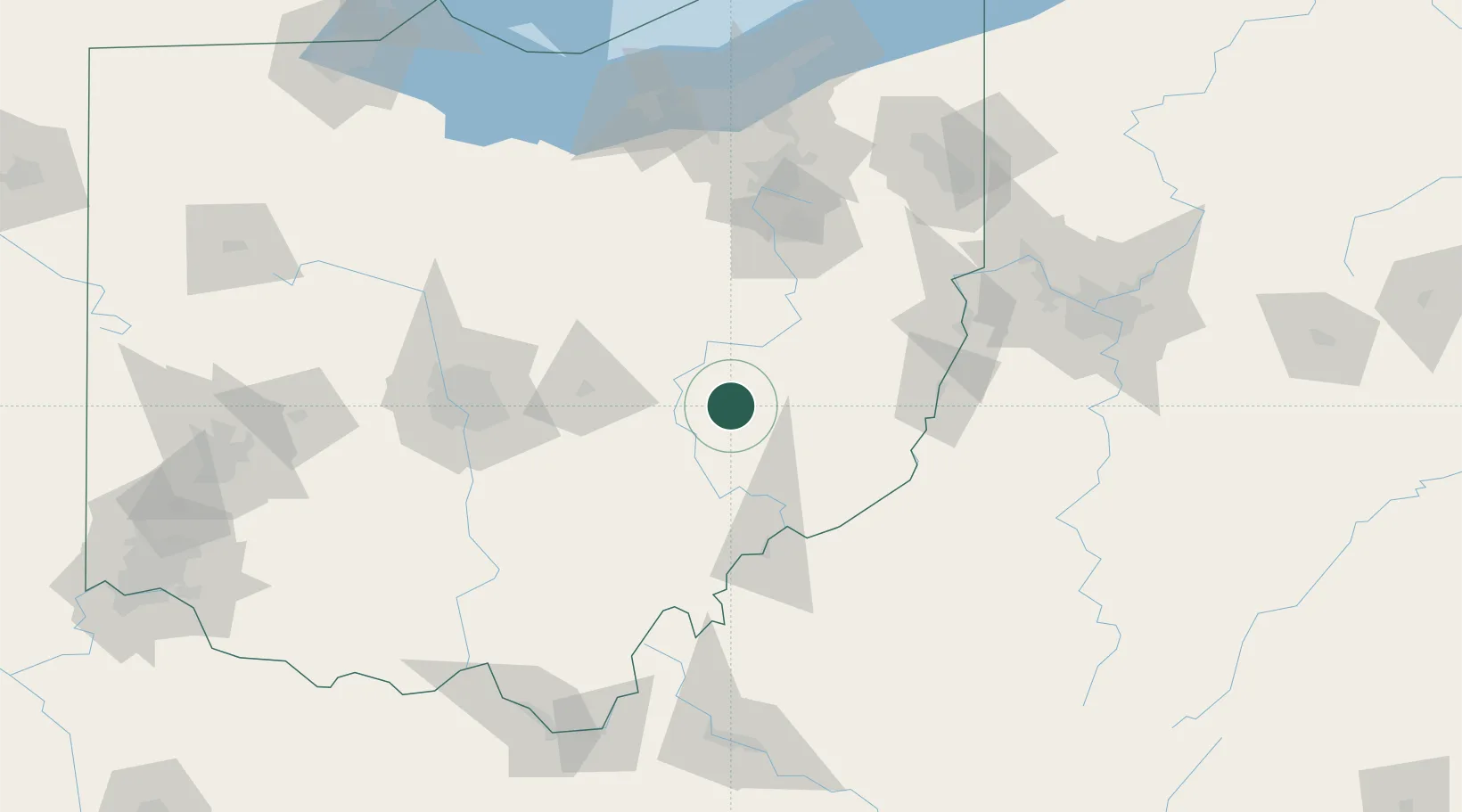
New Concord
39.9833°, -81.7333°
2,343
Population
2
Transport functions
Transport Functions
Rail
Road
Hub Profile
Place type
Populated place
Region
Ohio
Population
2,343
Time zone
America/New_York
Elevation
263 m
Location
Nearby Logistics Neighbours
Cities
- 1McDonald, Muskingum16 km
- 2Byesville17 km
- 3Duncan Falls19 km
- 4Greenwood, Guernsey24 km
- 5Conesville26 km
Airports
Trade Zones
- 1FTZ No. 138 Franklin County104 km
- 2FTZ No. 181 Akron Canton108 km
- 3FTZ No. 033 Pittsburgh151 km
- 4FTZ No. 040 Cleveland169 km
- 5FTZ No. 229 Charleston182 km
DatabookThe Record of Consolidated Knowledge
United States beyond logistics?