Transport Functions
Road
Multimodal
Hub Profile
Region
OH
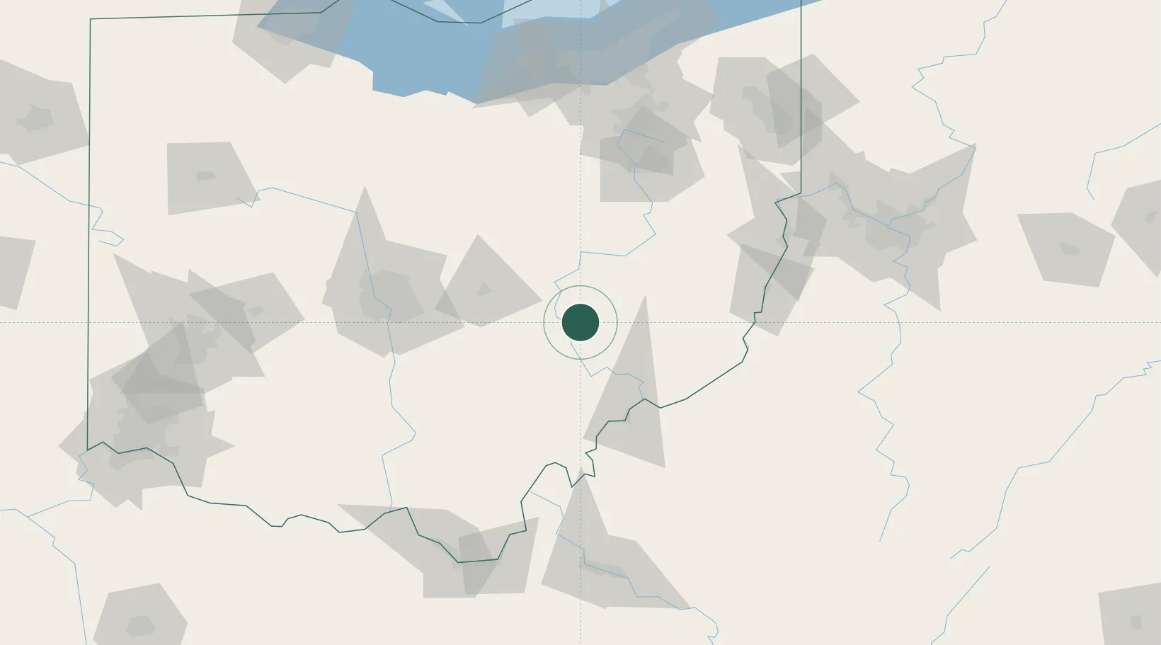
Location
Nearby Logistics Neighbours
Cities
- 1Duncan Falls4 km
- 2New Concord16 km
- 3Crooksville23 km
- 4McConnelsville26 km
- 5Malta26 km
Airports
Trade Zones
- 1FTZ No. 138 Franklin County93 km
- 2FTZ No. 181 Akron Canton122 km
- 3FTZ No. 033 Pittsburgh165 km
- 4FTZ No. 229 Charleston170 km
- 5FTZ No. 054 Clinton County173 km
DatabookThe Record of Consolidated Knowledge
United States beyond logistics?