UN/LOCODE hub · United States
USMVZ
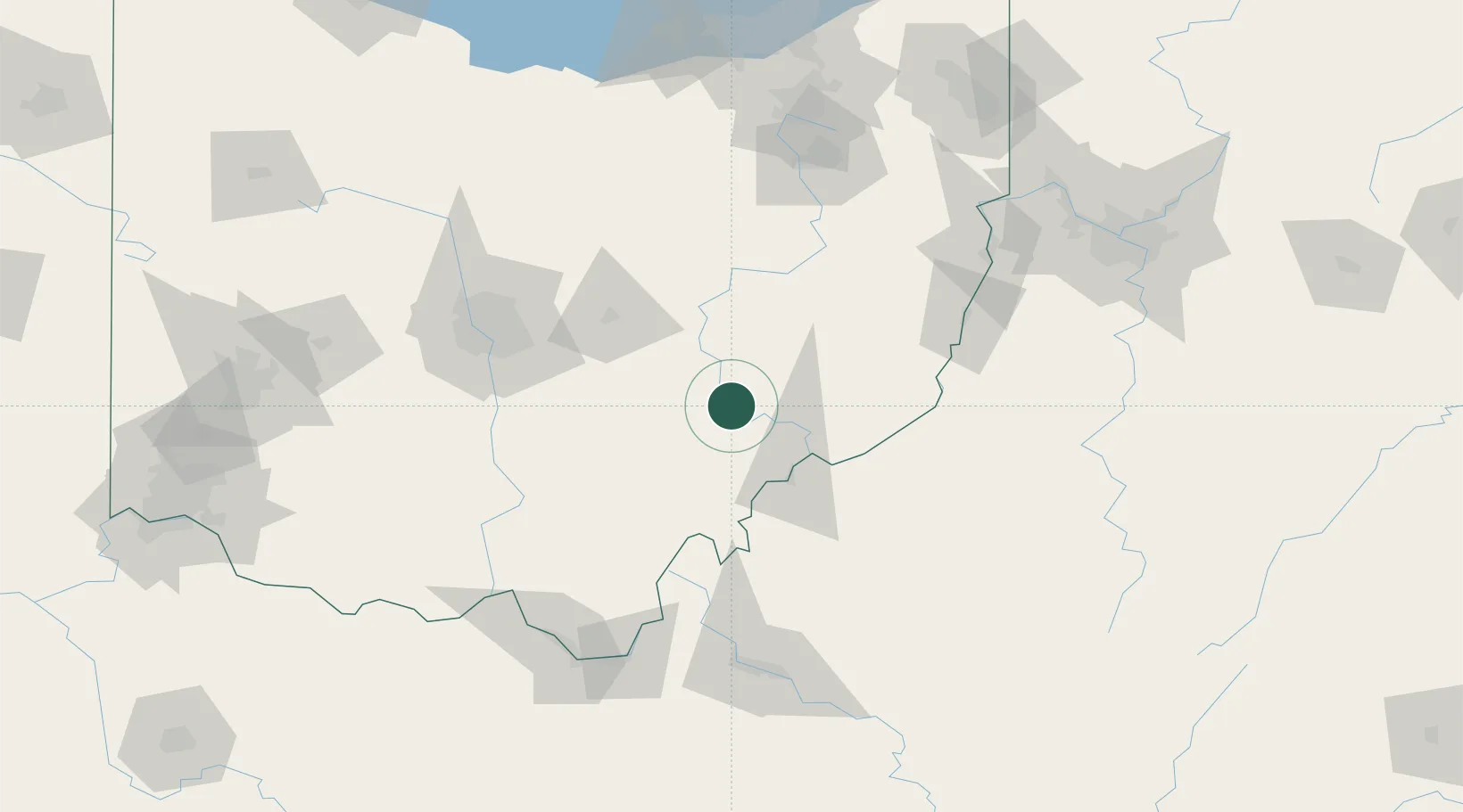
McConnelsville
39.6333°, -81.8500°
1,789
Population
2
Transport functions
Transport Functions
Rail
Road
Hub Profile
Place type
Provincial seat
Region
Ohio
Population
1,789
Time zone
America/New_York
Elevation
211 m
Location
Nearby Logistics Neighbours
Cities
- 1Malta0 km
- 2Crooksville25 km
- 3McDonald, Muskingum26 km
- 4Duncan Falls26 km
- 5Dexter City32 km
Airports
Trade Zones
- 1FTZ No. 138 Franklin County95 km
- 2FTZ No. 229 Charleston144 km
- 3FTZ No. 181 Akron Canton148 km
- 4FTZ No. 054 Clinton County168 km
- 5FTZ No. 033 Pittsburgh177 km
DatabookThe Record of Consolidated Knowledge
United States beyond logistics?