Transport Functions
Port
Road
Multimodal
Hub Profile
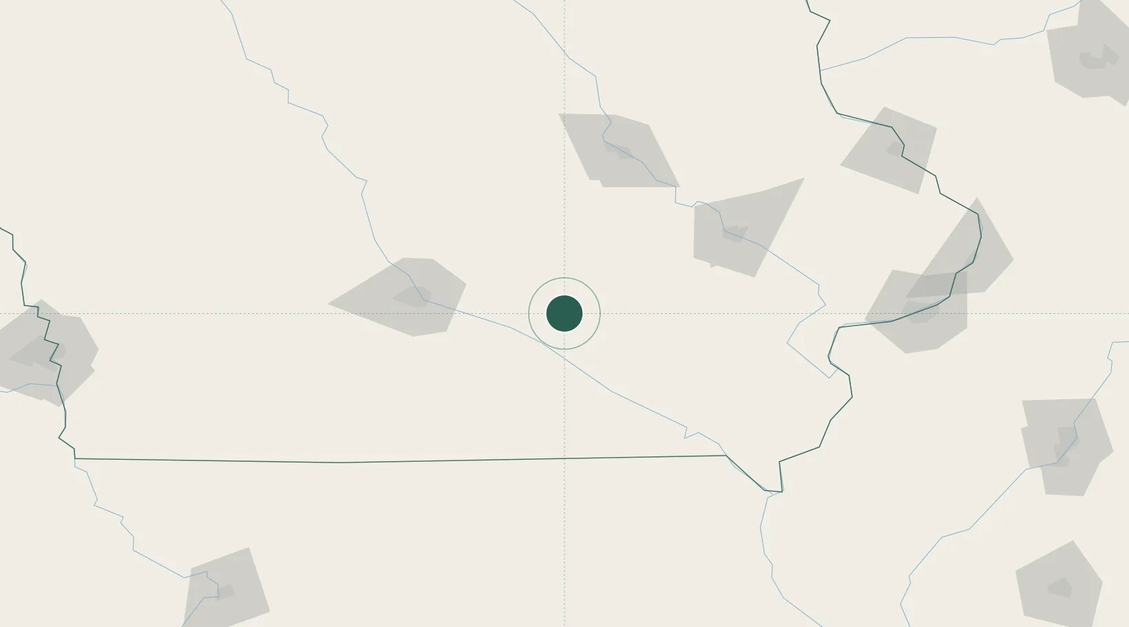
Place type
Populated place
Region
Iowa
Time zone
America/Chicago
Elevation
269 m
Location
Nearby Logistics Neighbours
Ports
- 1Great Lakes415 km
- 2Waukegan418 km
- 3Kenosha423 km
- 4Wilmette424 km
- 5Chicago428 km
Airports
Trade Zones
- 1FTZ No. 107 Polk County84 km
- 2FTZ No. 175 Cedar Rapids93 km
- 3FTZ No. 055 Burlington157 km
- 4FTZ No. 271 Jo-Daviess and Carroll Counties225 km
- 5FTZ No. 114 Peoria278 km
DatabookThe Record of Consolidated Knowledge
United States beyond logistics?