Transport Functions
Multimodal
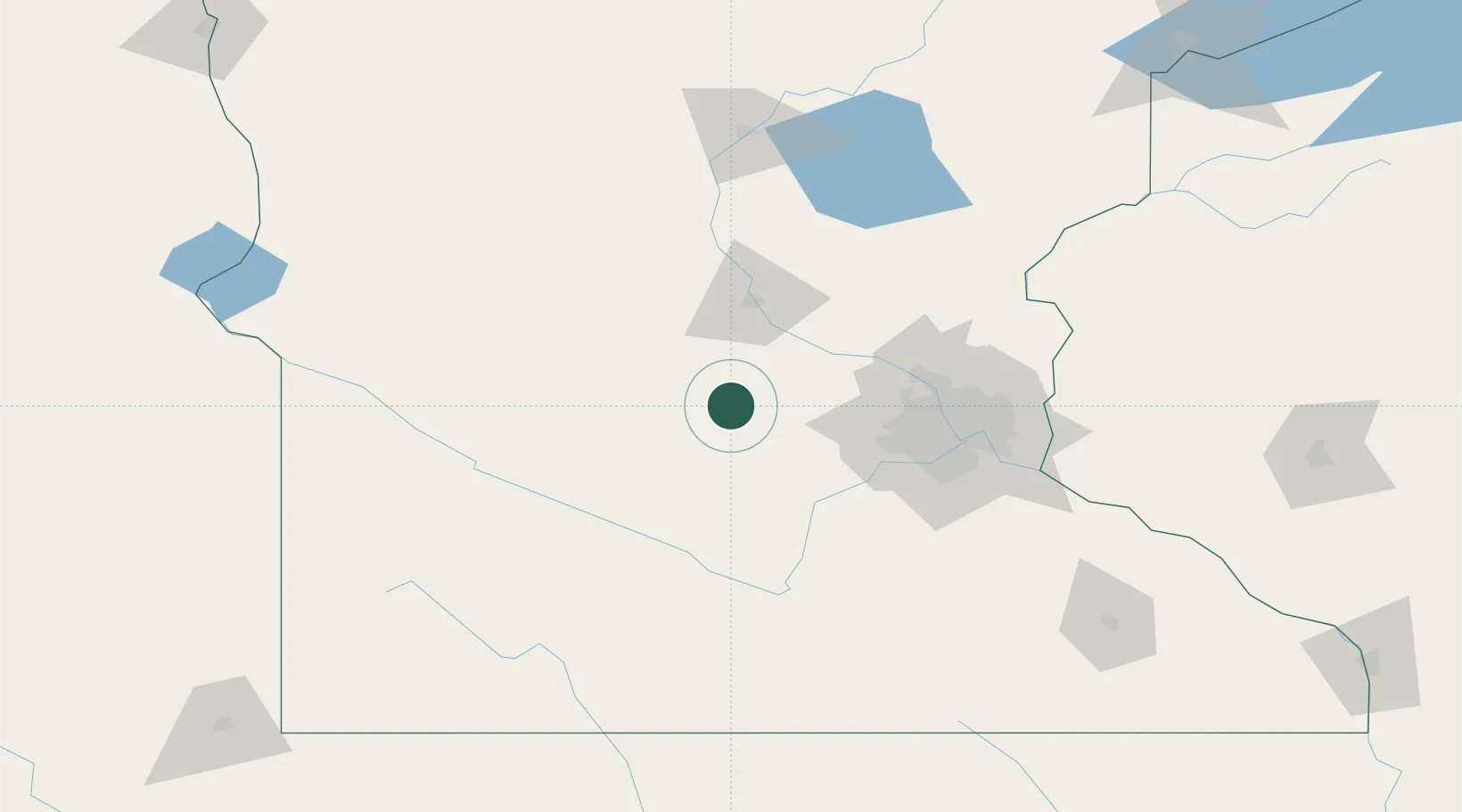
Hub Profile
Place type
Populated place
Region
Minnesota
Population
1,437
Time zone
America/Chicago
Elevation
332 m
Location
Nearby Logistics Neighbours
Cities
- 1Howard Lake18 km
- 2Annandale24 km
- 3Kimball28 km
- 4Watkins29 km
- 5Maple Lake30 km
Ports
- 1Superior253 km
- 2Duluth254 km
- 3Two Harbors298 km
- 4Ashland316 km
- 5Washburn319 km
Airports
Trade Zones
- 1FTZ No. 119 Minneapolis-St. Paul84 km
- 2FTZ No. 051 Duluth247 km
- 3FTZ No. 288 Northwest Iowa255 km
- 4FTZ No. 220 Sioux Falls260 km
- 5FTZ No. 267 Fargo286 km
DatabookThe Record of Consolidated Knowledge
United States beyond logistics?