UN/LOCODE hub · United States
USSXG

Sumner

31.5167°, -83.7333°
403
Population
3
Transport functions

Transport Functions

Rail
Road
Multimodal
UN/LOCODE

Hub Profile

Place type
Populated place
GeoNames
Region
Georgia
GeoNames
Population
403
GeoNames
Time zone
America/New_York
GeoNames
Elevation
115 m
GeoNames

Location

Location of USSXG
Natural Earth 10m (public domain) · Georgia · USSXG · 31.52, -83.73GoogleOSMYandex

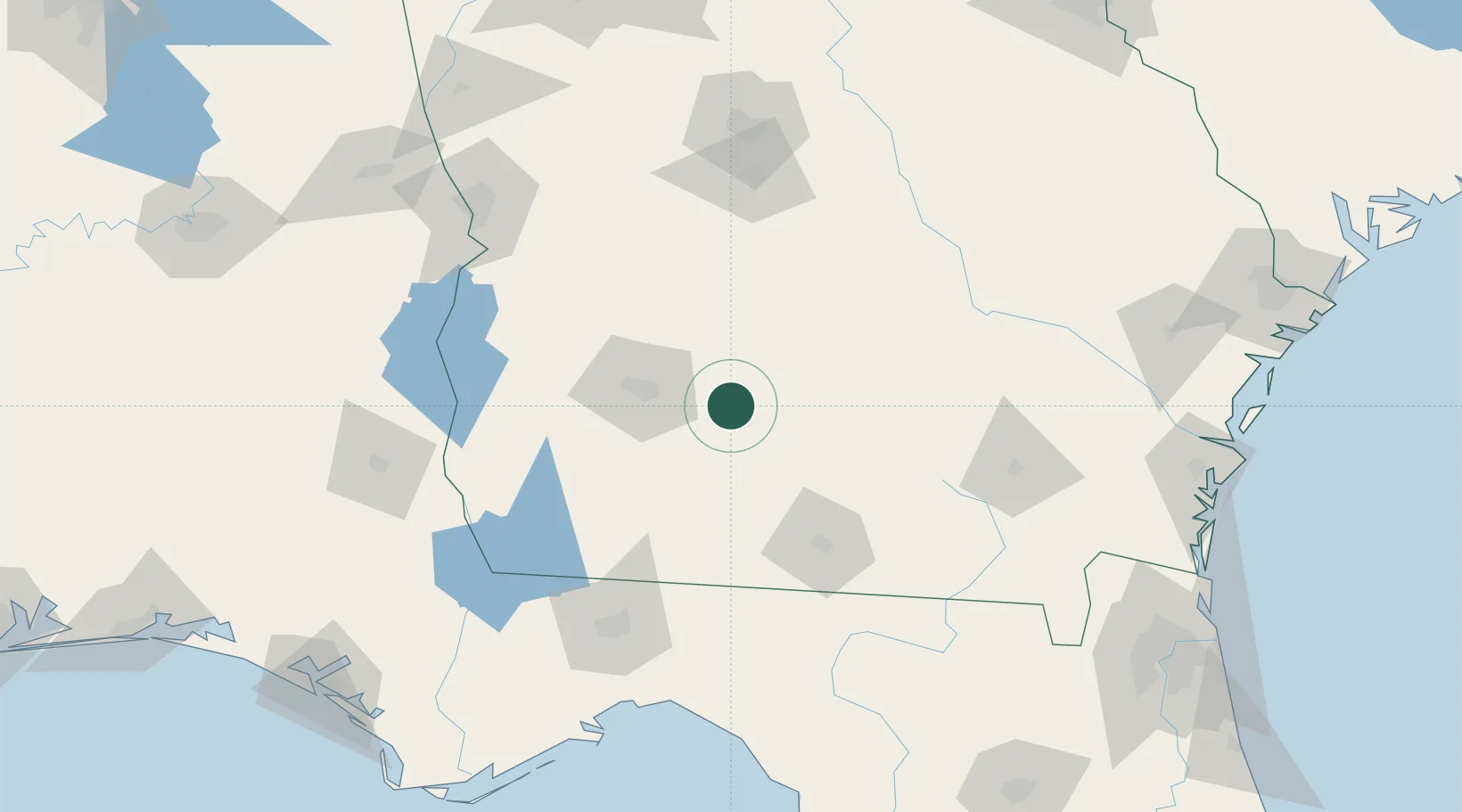
Nearby Logistics Neighbours

Cities
  1. 1Sycamore19 km
  2. 2Anderson City20 km
  3. 3Norman Park28 km
  4. 4Doerun28 km
  5. 5Rebecca39 km
Nearest neighbours — logibook spatial index (haversine) over the source coordinates
Ports
  1. 1Carrabelle206 km
  2. 2Brunswick216 km
  3. 3Darien219 km
  4. 4Apalachicola233 km
  5. 5Fernandina Beach235 km
Nearest neighbours — logibook spatial index (haversine) over the source coordinates
Airports
  1. 1Southwest Georgia Regional Airport44 km
  2. 2Moody Air Force Base80 km
  3. 3Valdosta Regional Airport93 km
  4. 4Robins Air Force Base126 km
  5. 5Middle Georgia Regional Airport131 km
Nearest neighbours — logibook spatial index (haversine) over the source coordinates
Trade Zones
  1. 1FTZ No. 233 Dothan164 km
  2. 2FTZ No. 064 Jacksonville213 km
  3. 3FTZ No. 144 Brunswick216 km
  4. 4FTZ No. 065 Panama City241 km
  5. 5FTZ No. 026 Atlanta257 km
Nearest neighbours — logibook spatial index (haversine) over the source coordinates
DatabookThe Record of Consolidated Knowledge
United States beyond logistics?
Browse databook

All Sources

LocationsUN/LOCODE
UN/LOCODE — free
LocationsGeoNames
CC BY 4.0
Portsthe NGA World Port Index
Public domain (US gov)
AirportsOurAirports
Public domain
Trade Zonesthe World Bank SEZ database
CC BY 4.0
Trade ZonesOpen Zone Map
CC BY
← United States locations